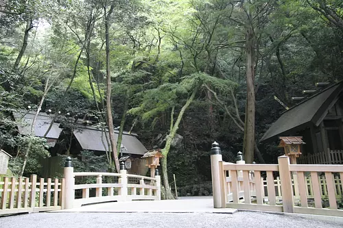
多度山 たどやま

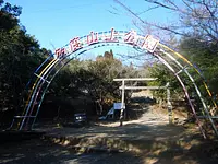
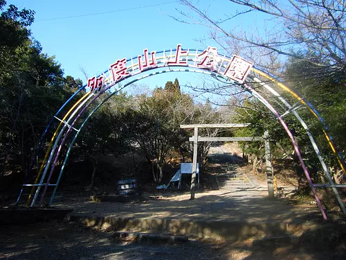
多度山は、養老山地の最南端にあり、山頂にある自然豊かな多度山上公園があります。周辺には、多度山を周遊できるいくつものハイキングコースがあり、多くのハイカーが訪れています。
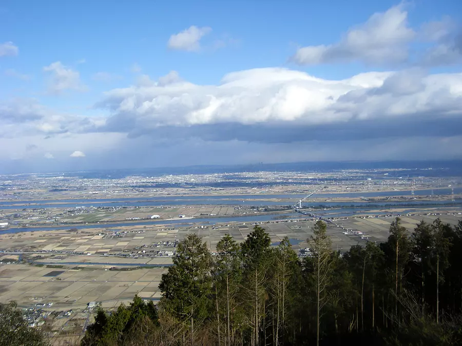
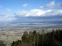
多度山上公園眼下に広がる景色は、まさに絶景。天気の良い日には、雄大な木曽三川(木曽川・長良川・揖斐川)と国営木曽三川公園や、濃尾平野、木曽の山などを一望することができます。春の桜の季節には、お花見にやってくる人も多くいます。また、お正月には初日の出を見にたくさんの方が訪れます。新年にふさわしい気分になれること間違いなしです。
登山情報・ルートはこちら 多度山(ヤマレコ)
※登山道は崩壊の恐れがあるため、最新情報をご確認ください
詳細情報
養老鉄道 多度駅より徒歩約75分(ハイキングコースで山頂まで)
東名阪自動車 桑名東ICより約15分
ポケットパーク駐車場から多度山上公園まで徒歩60分
ポケットパーク駐車場(無料、約70台)
※料金等については変更されている場合がありますので、お出かけの際は問い合わせ先にご確認ください。
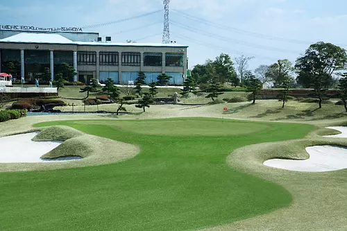
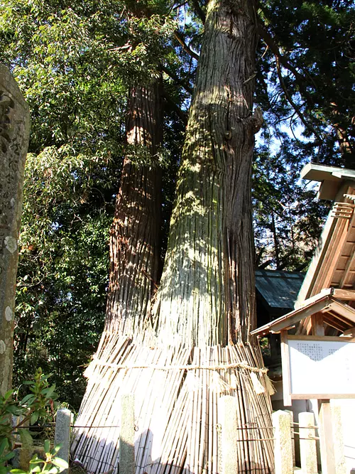
近くのスポット
近くのイベント

開催日:2025年12月31日~2026年1月7日
直線距離:1.1km
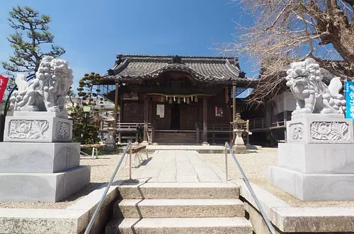
【多度大社】 初詣
開催日:2026年04月04日(土) ~2026年04月05日(日)
直線距離:8.8km
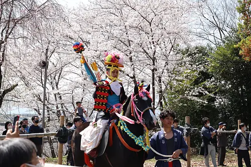
猪名部神社大祭(大社祭)
開催日:6月
直線距離:9.1km
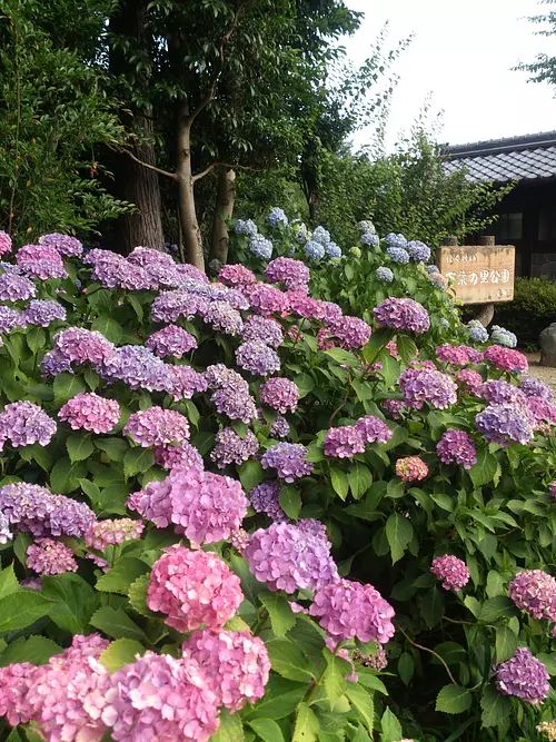
万葉の里公園のあじさい
開催日:4月中旬〜下旬(開花状況による)
直線距離:9.3km
長島水辺のやすらぎパーク ぼたん園
開催日:応募期限:2026年1月9日(金)必着
直線距離:9.3km
第12回 魅力いっぱい いなべを描こうコンクール
開催日:2025年12月24日(水)
直線距離:9.6km
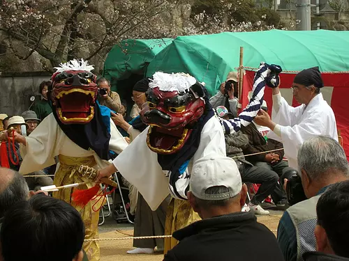
伊勢大神楽
開催日:2026年02月15日(日)〜2025年03月03日(火)
直線距離:9.7km
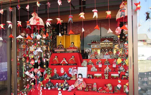
あげきのおひなさん

開催日:2026年4月2日(木)
直線距離:9.9km
大福田寺 桑名聖天大祭

開催日:2026年02月03日(火)
直線距離:9.9km
大福田寺 節分祭
開催日:2026年1月1日(木)~2026年1月7日(水)
直線距離:9.9km
大福田寺 初詣
開催日:2025年10月18日(土)〜2026年5月31日(日)
直線距離:9.9km
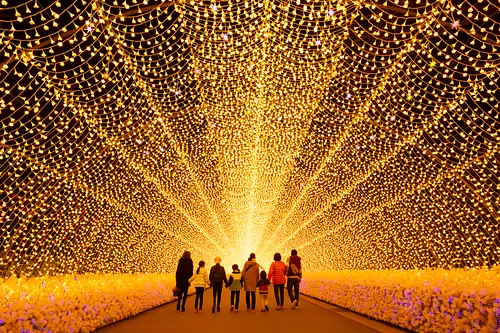
なばなの里イルミネーション

開催日:2026.4月 10日(金) 11日(土) 12日(日)
直線距離:9.9km
第12回 多肉とみどりのマルシェ in なばなの里4/10~12
近くでできる遊び・体験

直線距離:5.2km
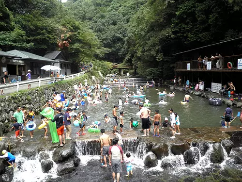
多度グリーンファーム みかん狩り

直線距離:9.7km
レンタサイクル「いなCHARI」

直線距離:10.0km
ホタル観賞体験・なばなの里 初夏の風物詩【ご予約不要】

直線距離:10.0km
なばなの里・煌めく絶景イルミとあじさい・花しょうぶで夢の感動体験!

直線距離:10.0km
なばなの里 イルミネーションの奇跡の絶景で感動体験を!
直線距離:10.0km
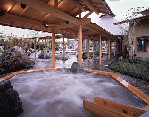
穴場スポット!四季折々の花々に囲まれた”なばなの里の露天風呂”日帰り温泉「里の湯」【手ぶらでOK・予約不要】

直線距離:10.0km
第12回 多肉とみどりのマルシェ in なばなの里4/10~12
直線距離:10.0km
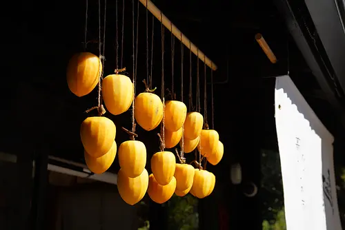
いなべの干し柿づくり体験
直線距離:10.2km
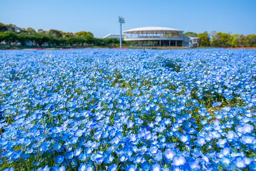
なばなの里 ネモフィラ ~見渡す限り幻想的なブルーの世界を体験できる~
直線距離:10.3km
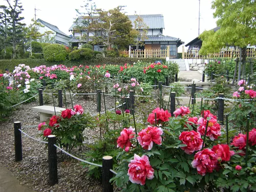
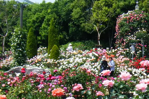
なばなの里「バラ園」で優雅に薔薇の香りを楽しむ! “薔薇の楽園” をご体感ください。(春・秋)
直線距離:14.5km
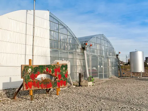
haruいちご農園 いちご狩り

直線距離:14.7km
梅の実もぎとり体験