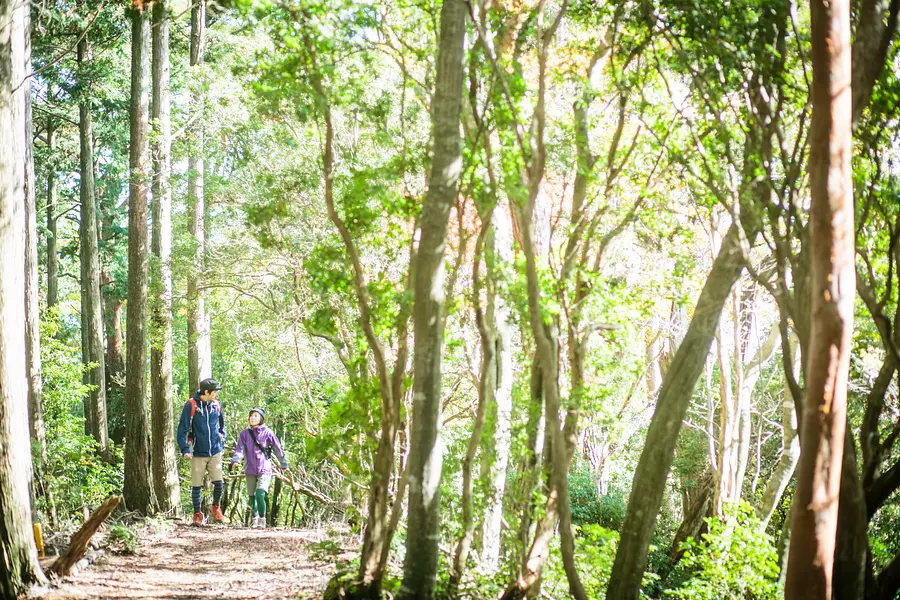
Special feature on mountain climbing and trekking in Mie Prefecture: Enjoy the outdoors!
掲載日:2021.09.01

Special feature on mountain climbing and trekking in Mie!
Mie Prefecture is home to many mountains, including the Suzuka Mountains, represented by Mt.Gozaisho and Mt. Fujiwara, Mt. Kyogamine, which is popular in TsuCity, and Mt.Asama in Ise. Mt. Tado is recommended for hiking, and Mt. Horisaka and Kyogamine are recommended for outdoor beginners. Mt.Gozaisho is popular among women as the autumn leaves are beautiful and you can ride the ropeway on your way back. Introducing some of the most popular spots! !
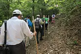
*Please be sure to have sufficient equipment when climbing. Also, please be sure to bring a map (Mountain and Highland Map: Shobunsha, etc.) and check the route yourself in advance. Also, please submit a climbing notification before climbing.
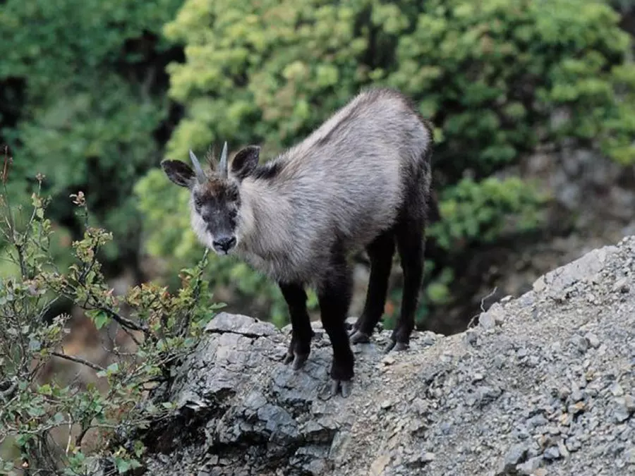
Also, please be careful of wild animals such as wild boars and Japanese deer. Click here for details
index
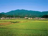

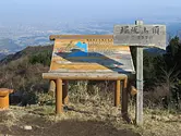


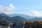
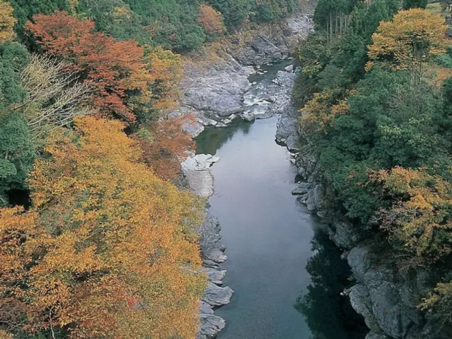
Tadoyama (KuwanaCity)
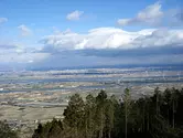
Mt. Tado is located at the southernmost tip of the Yoro Mountains, and there is Tado Sanjo Park, which is rich in nature and located at the top of the mountain. There are many hiking trails around Mt. Tado that are visited by many hikers.
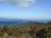
The scenery spreading out below Tado Sanjo Park is truly spectacular. On a clear day, you can see the majestic Kiso Three Rivers (Kiso River, Nagara River, and Ibi River), the National Kiso Three Rivers Park, the Nobi Plain, and the mountains of Kiso. During the spring cherry blossom season, many people come to see the cherry blossoms. Also, many people come to see the first sunrise of the year on New Year's Day. It's sure to put you in the right mood for the new year.
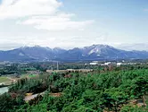
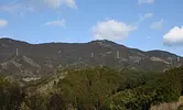
Mt. Fujiwara (InabeCity)
It is a mountain at the northern end of the Suzuka Mountains and is known as one of the 100 Famous Mountains for Flowers, where you can enjoy flowers throughout the year. Over 50,000 climbers visit each year. There is a mountain hut (unmanned) at the 9th station, which is perfect for eating and taking a break.
Botanically, it is the point of contact between the Ura-Nihon plant system and the Omote-Nihon plant system, and plants from both coexist. Geologically, it is a karst topography dotted with dolines typical of limestone areas. Plants from igneous rock areas can also be seen.
Related information
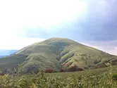
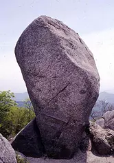
Ryugatake (InabeCity)
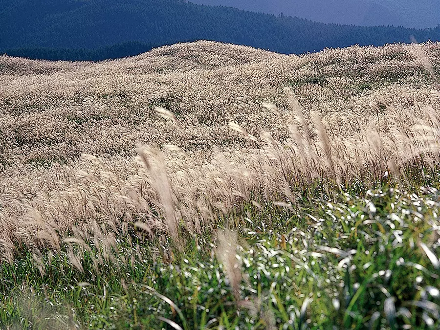
It is a mountain with a smart appearance, and the area around the summit is a vast plain where you can see many Kuma bamboo grass.
In the spring, the white flowers of the white palm are in full bloom, and in the autumn, the pampas grass stands out against the autumn leaves of the white palm, making for a very beautiful view.
The recently constructed ``Excursion Ridge'' is easy to walk on and has great views.
You can also climb the ``Layered Rock'' in front of the summit, and enjoy a 360-degree panoramic view from the top of the rock.
Related information
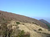
Mt. Shakagatake (Komono Town, KomonoTown)
The highest peak of the Odaka Highlands offers a vast view. 3 hours from AsakeValley.
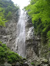
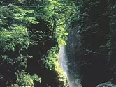
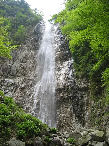
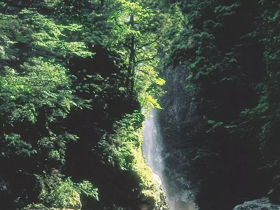
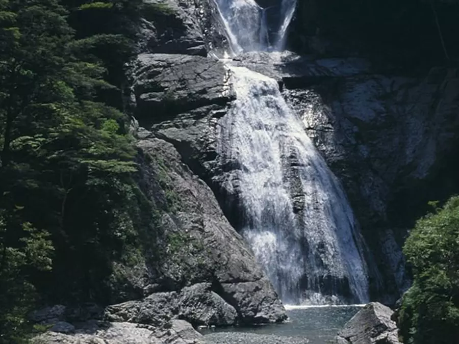
Altitude: 1092m. It is said that it was named because its appearance resembles the sleeping position of Buddha. The Mie Prefecture side is especially steep, with scattered scree fields that can be mistaken for snow, and the large shadow on the east side of the summit is overwhelming. Iza Falls is a highlight of Mt. Shakagatake.
Climbing trails such as the Iza course, Matsuo-one course, and Hatori-mine course depart from AsakeValley Valley. It also leads to the Aichi River Valley.
Related information
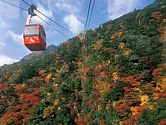
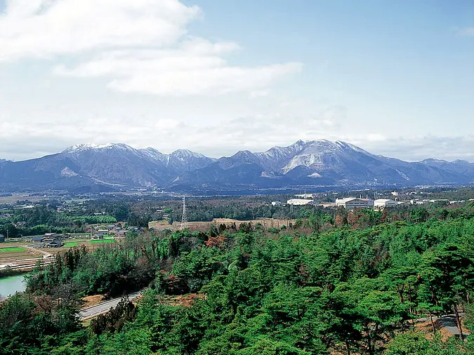
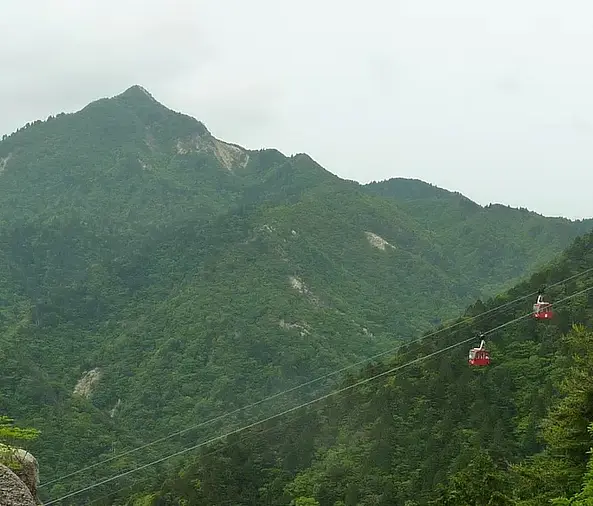
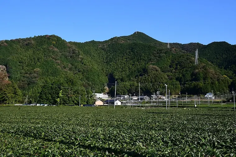
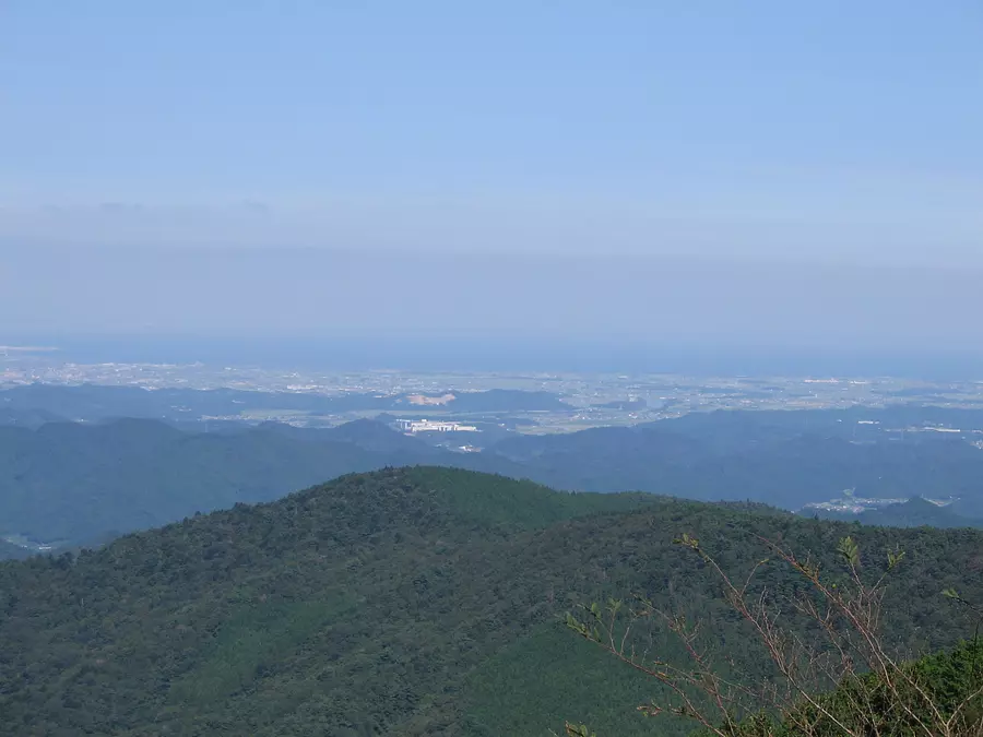
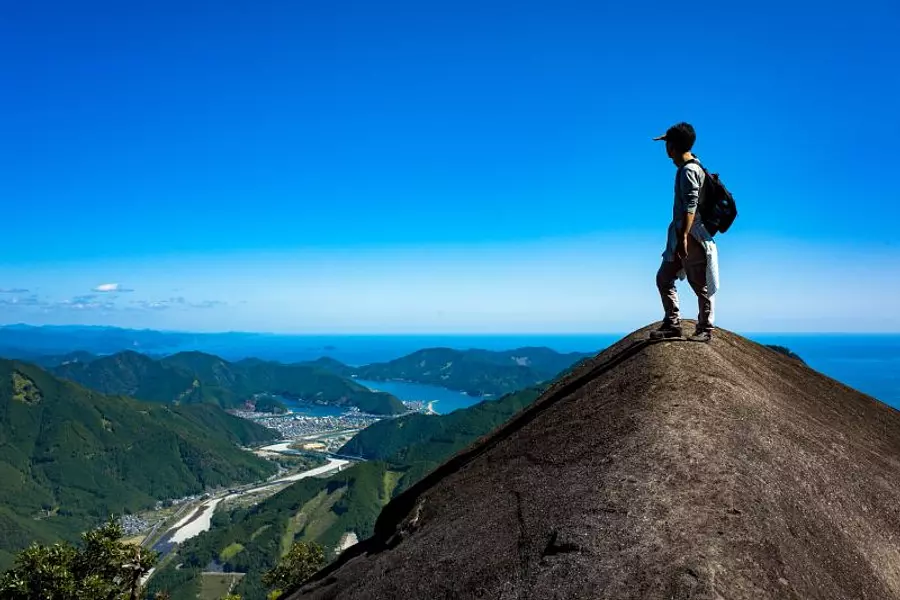
Mt.Gozaisho (Komono Town, KomonoTown)
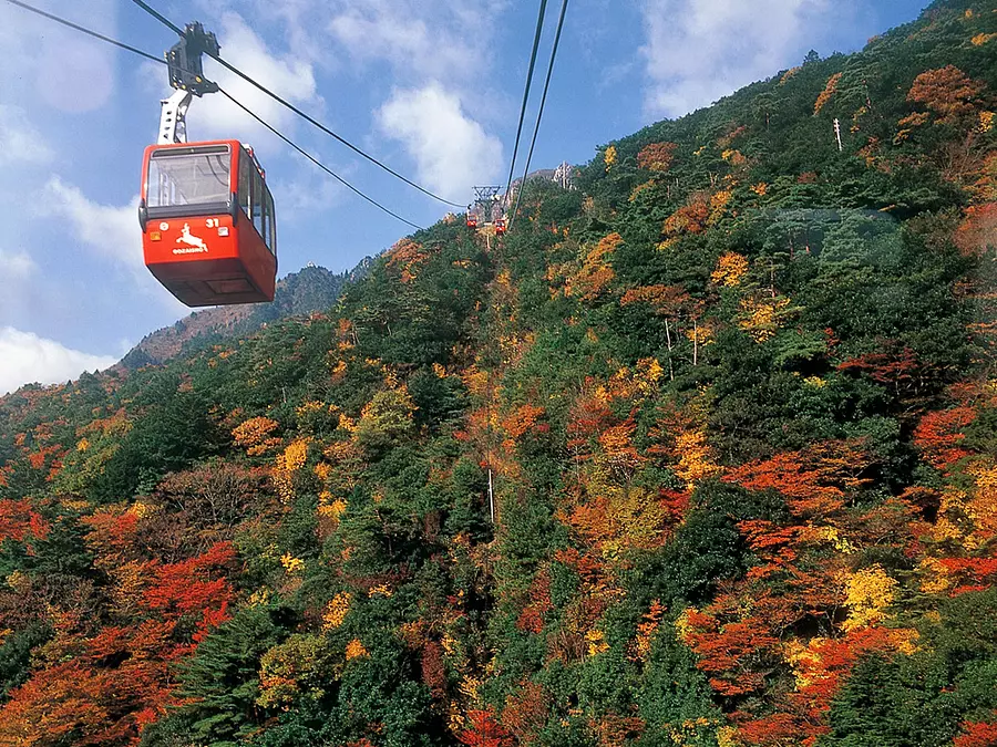
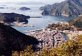
It is the main peak of the Suzuka Mountains, and there is Yunoyama Onsen at its foot, and a world-class ropeway leads to the summit, making it a wonderful mountain park.
The geology of this mountain is granite, and there are many rocky areas, including the Fujinai Wall, which is famous for rock climbing, and the mountain stream has many waterfalls. Also, it has been known as ``Komonoyama'' since the Edo period for its abundance of plants, and the foot of the mountain has a rare natural environment where a wide variety of plants from all over Japan can be observed.
With an altitude of 1212m and many climbing courses, it is crowded with many climbers throughout the year.
Related information
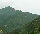
Kamagatake (Komono Town, KomonoTown)
Altitude: 1157m. It is affectionately known as the ``Spear of Suzuka'' because of its sky-piercing appearance, and is even more popular than Mt. Mt.Gozaisho. The primeval beech forest in the Tohoku area has been designated as a natural monument by the prefecture.
The Nagasishidani Course, Mitsuguchidani Course, and Takehira Pass Course depart from Yunoyama Onsen.
Related information
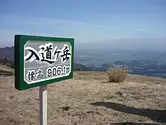
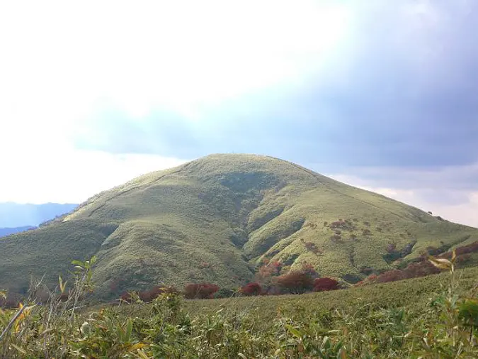
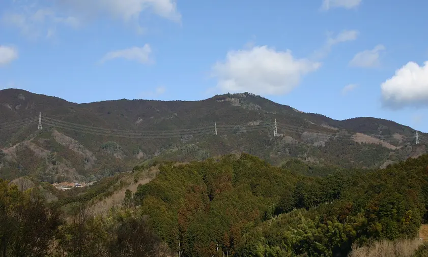
Nyudogatake (SuzukaCity)
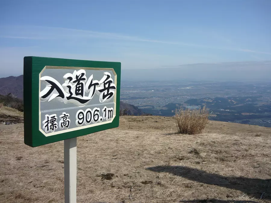
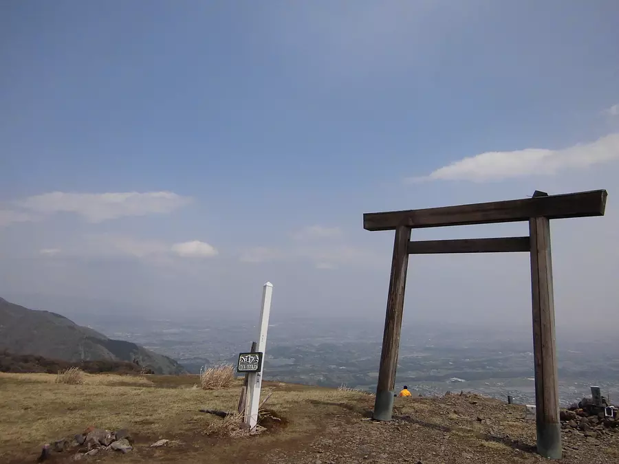
This mountain has been selected as one of the Suzuka Seven Mountains, and the area near the summit is covered with clumps of pampas grass, bamboo grass, and the natural monument Acebifolia, and the wide summit offers a 360-degree view, making it a perfect vantage point for views of Mt. Kamagatake and Ise Bay.
There are seven unique routes to the summit, and the Nihonmatsu Ridge Route and Idodani Route, which start from TsubakiGrandShrine, are easy to follow, but there is a steep climb just before the summit.
In addition, there is the ``Kitaone Route'' which is a little longer but has a good view, the ``Ikegaya Route'' and ``Takigaya Route'' which start from Ogi Valley, and the ``Shindo Route'' from MiyazumaGorge in YokkaichiCity. You can enjoy a wide variety of mountain climbing.
Related information
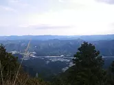
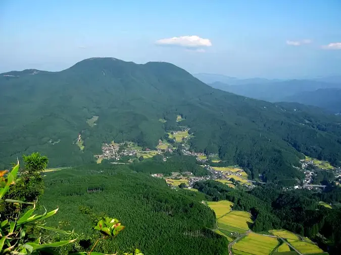
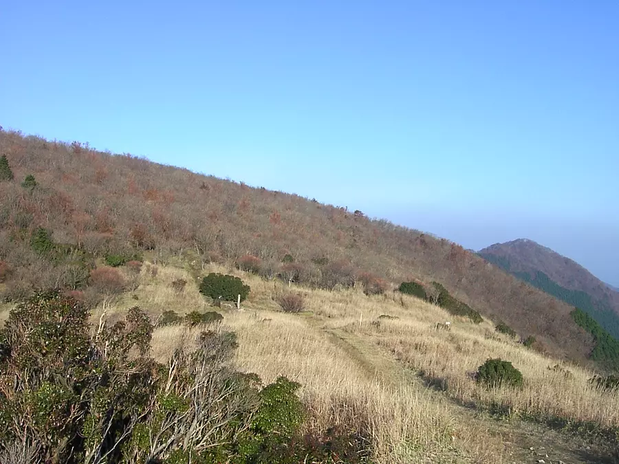
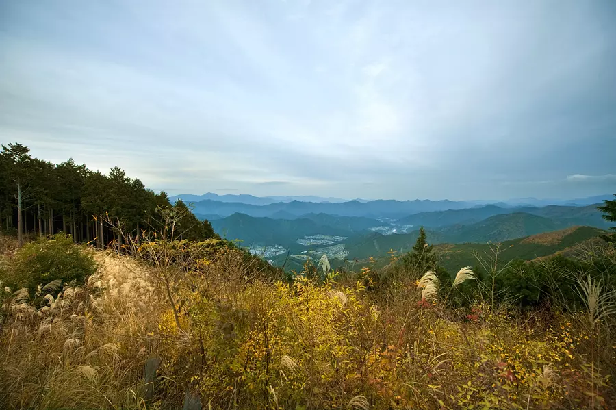
Keigamine (TsuCity)
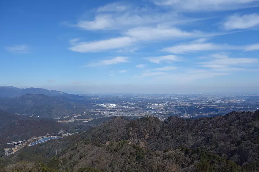
The highest peak in Aki, which straddles anocho, geinocho, and Misato Town. There are three routes to the mountaintop, starting from the bus stops ``Keigamineguchi'', ``Takanode'', and ``Nakanogo'' and passing through Hirao, and it takes about 2 hours to reach the mountaintop from each trailhead. At the top of the mountain, there is an observation deck where you can see Ise Bay on clear days, as well as the windmills lining AoyamaPlateau. This mountain is recommended for beginners in mountain climbing.
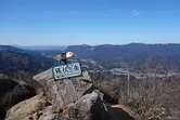
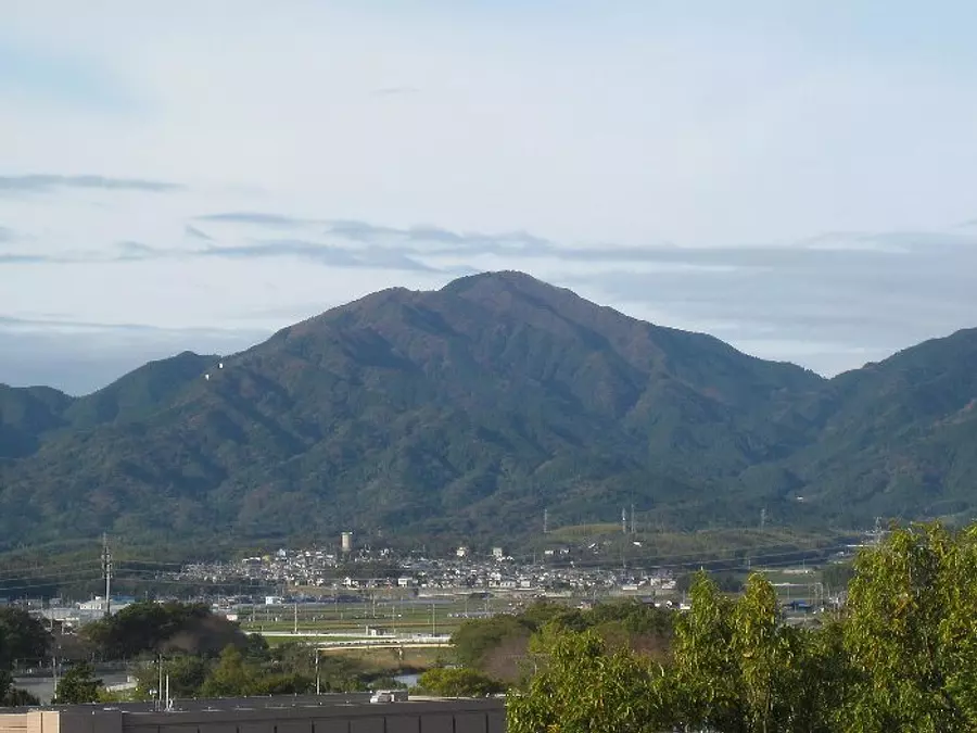
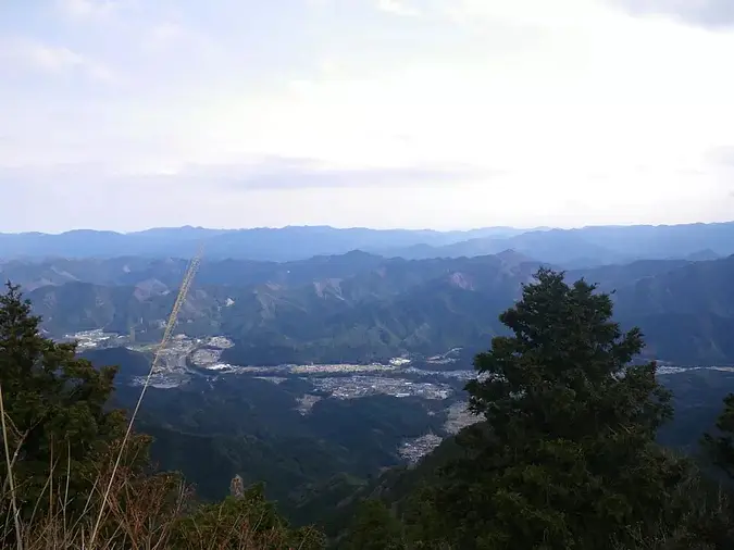
Mt. Sengatake (KameyamaCity)

A mountain with an altitude of 961m that belongs to the Suzuka Mountains.
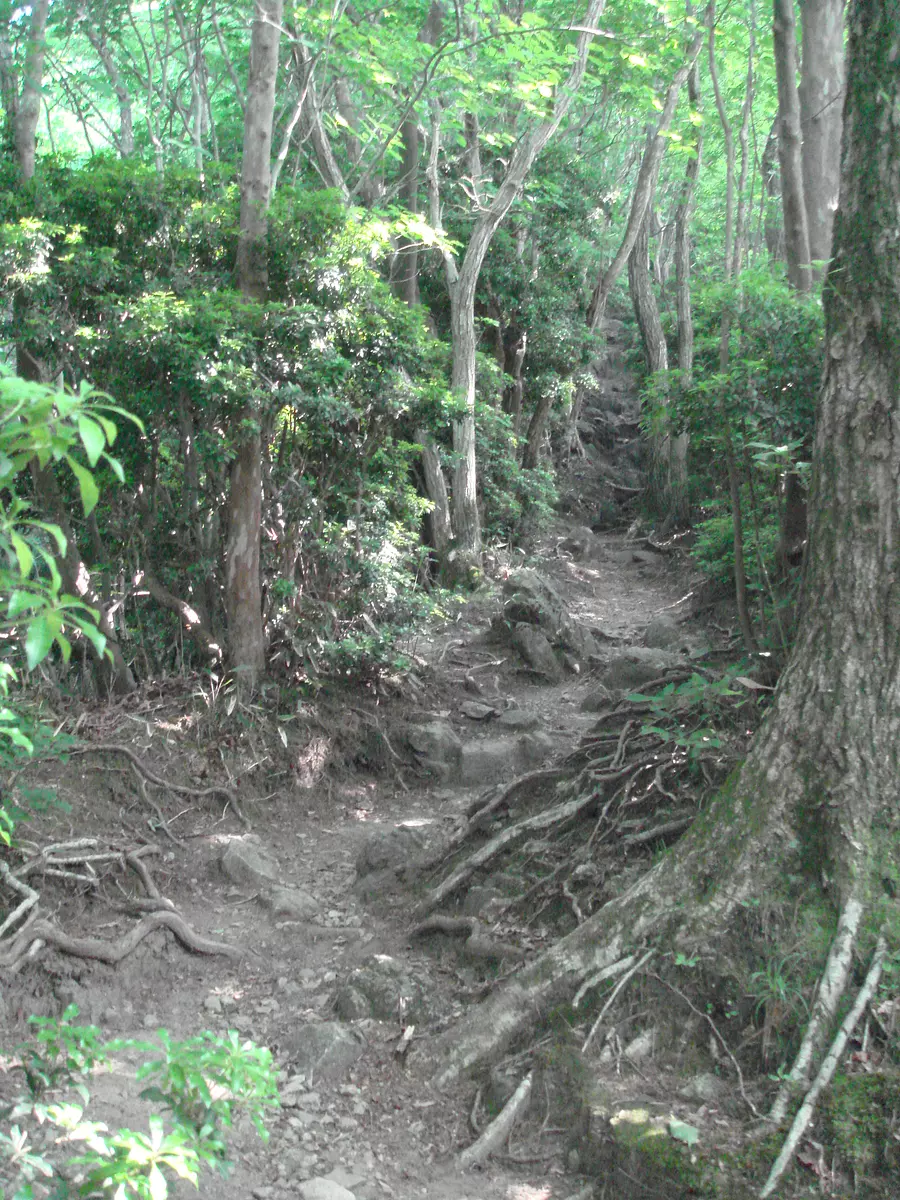
The route to the summit from SuzukaCity side is to follow the forest road that continues from OgisuValley Yamanoie to the end point and then climb the mountain trail that leads to the end. There are many climbers aiming for this.
Both routes have many places where the footing is unstable, but that makes the climb worthwhile.
On the east peak of the mountain, there is a huge stone called ``Sen no Ishi,'' which is also a spot with a great view, and is a must-see spot when climbing Mt. Sengatake.
Another popular route is to reach the summit from Sekisuikei in KameyamaCity.
Related information
Interview report: You'll love Mie's mountains even more! “Kameyama 7-za Trail”! !
Special site: “Kameyama 7-za Trail”
Mt. Shikujogatake (KameyamaCity)
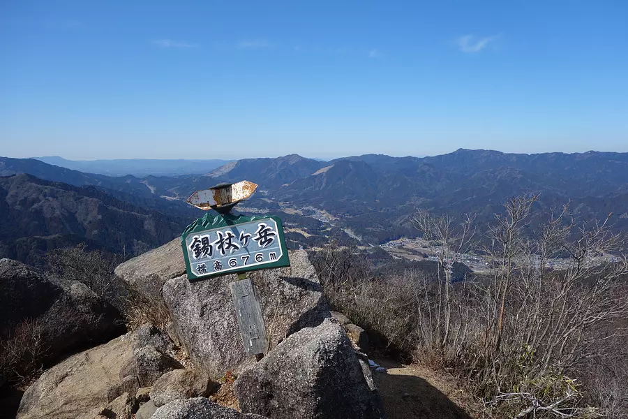
Altitude: 676m. It has been known as the mountain for praying for rain since ancient times. Although it's a low mountain, there's plenty to do, including walking in streams, walking on ridges, and walking on chains. The rest area is well maintained and even beginners can enjoy it. The view from the top is spectacular, making it popular among climbers.
Related information
Interview report: You'll love Mie's mountains even more! “Kameyama 7-za Trail”! !
Special site: “Kameyama 7-za Trail”
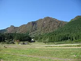
Kurusonzan (TsuCity)
The topography of the Muro Volcanic Group, including its main peak and steep cliffs, is a panoramic view of nature.
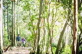
You can enjoy wonderful views from the forest therapy course and the Tokai Nature Trail, and it is crowded with many hikers, especially in the autumn season.
Related information
Interview report: ~ Going from Soni Plateau ~ Mt. Karu Takayama in summer and autumn
Odoyama (TsuCity)
There are Mt. Odake and Mt. Medake, and a variety of alpine plants decorate the four seasons. In addition, the main line of the Tokai Nature Trail runs halfway up the mountain, and a good walking course connects the summit.
Halfway up the hill is the city-run outdoor complex Skyland Obora, where you can enjoy camping, stargazing, and putter golf.
Horisakayama (MatsusakaCity)

You can see from the Ise Plain to Ise Bay. (50 minutes up), Horisaka Pass - Horisaka Summit
Mt. Tsubogatake (MatsusakaCity)
The altitude is approximately 1,028.7m. It is one of the three mountains of Ise, and from the top you can see Ise Bay and the city. There are two mountain trails from the north and one from the south.
Mt. Mimine (MatsusakaCity)
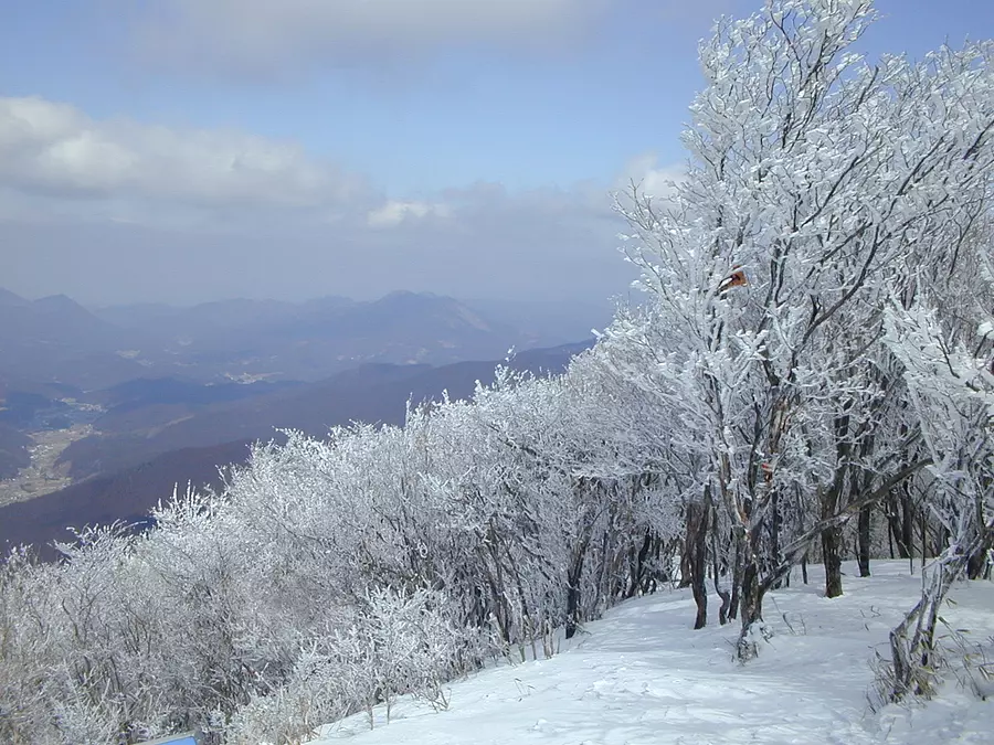
Altitude: 1235.2m.
Hatchodaira, which spreads out near the summit, is designated as Muro Akame Aoyama Quasi-National Park.
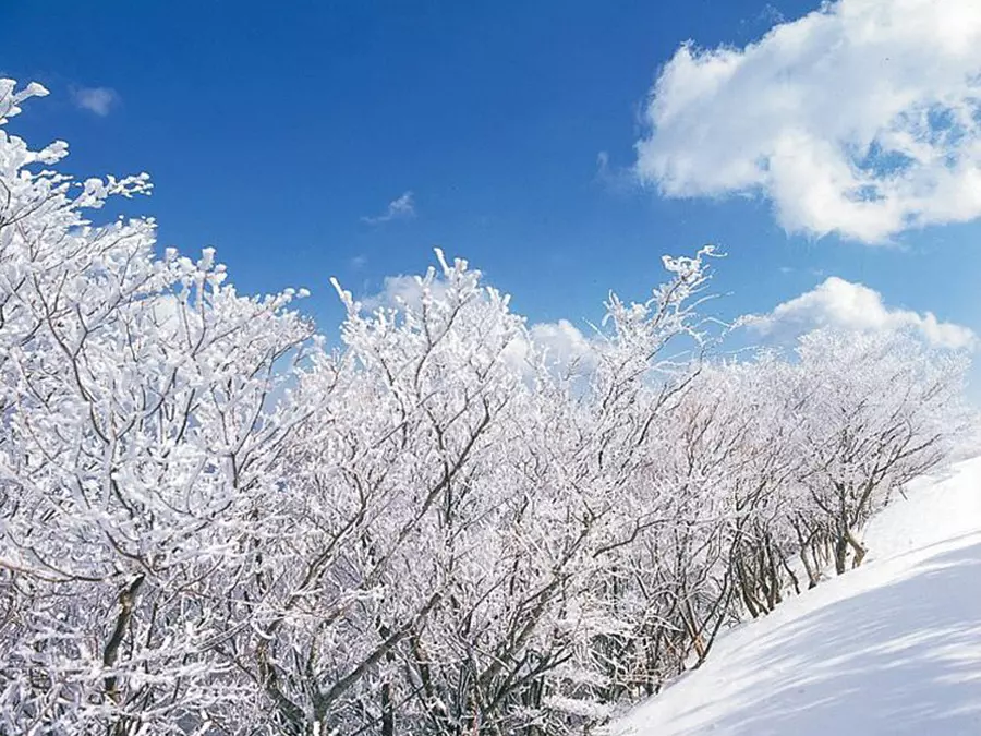
The hoarfrost that forms from early January to late February is popular and is called shrimp tail. You can see white palms from mid to late May.
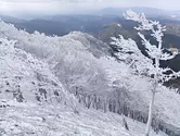
Takamiyama (MatsusakaCity)
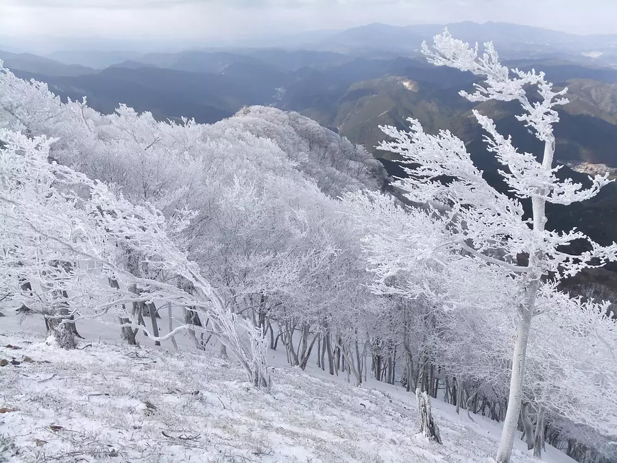
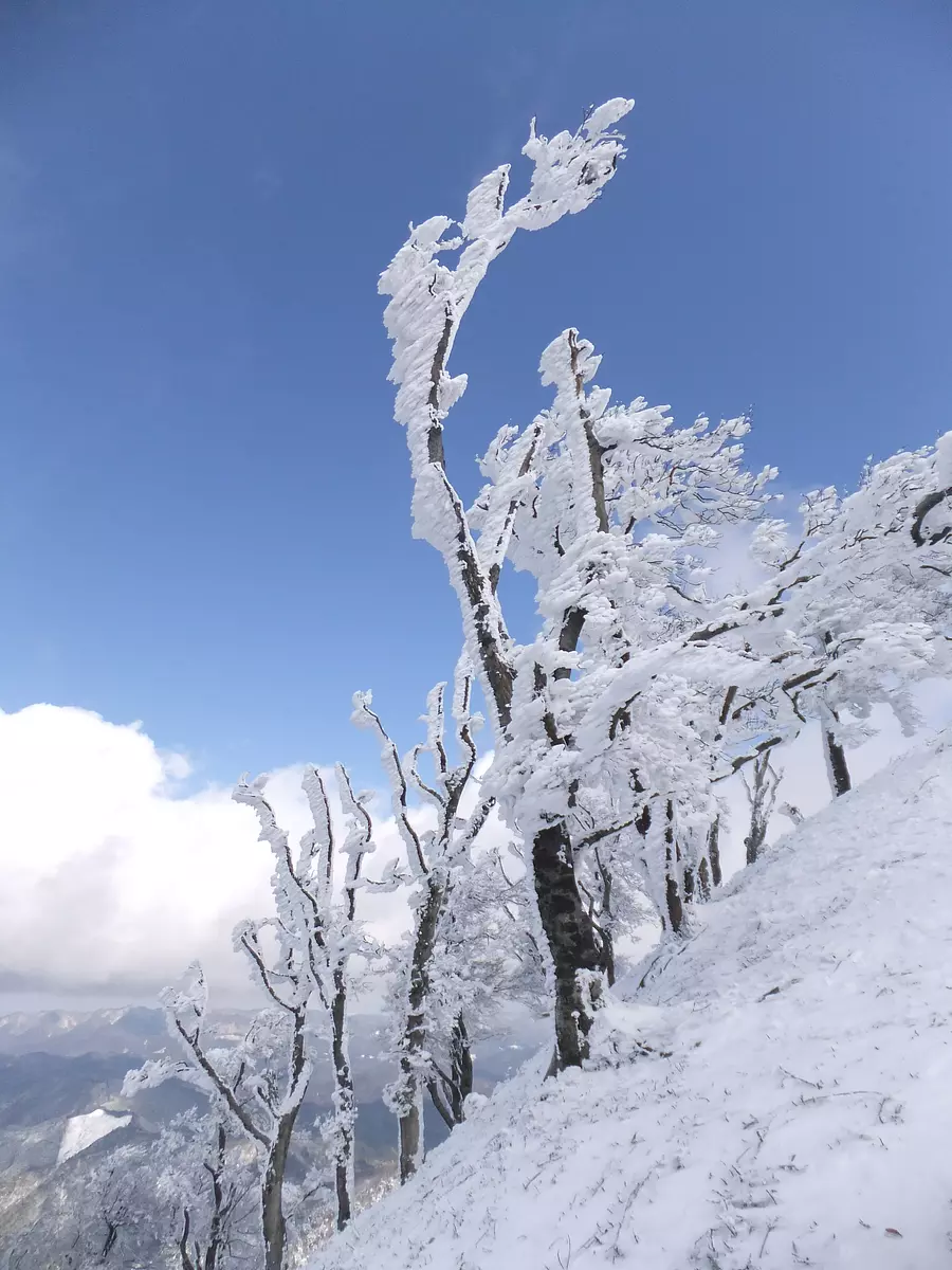
Altitude: 1248.4m.
It is also known as Kowa Matterhorn, and from late December to late February, you can enjoy frost and frost covered trees. It is crowded with climbers, with over 500 people per day at peak times.
Karasutake (MatsusakaCity)
Karasudake, which is 545 meters above sea level, is within walking distance from the large parking lot at Riverside Chakura to the trailhead, and the trail is safe, making it a recommended mountain for those who want to start mountain climbing.
The view from the top is spectacular, with views of the mountains from Mt. Tsubogatake to the Daitaka Mountains in the Nara Prefecture direction, and Ise Bay and the Atsumi Peninsula on the opposite shore in the Ise/Shima direction.
White Boar Mountain (MatsusakaCity)
It takes about 70 minutes. Mt. White Boar with an altitude of 819m.
In the past, along with Mt. Horizaka and Mt. Chogatake, it was called the ``Miss of Ise'' by sailors who traveled through Ise Bay and was used as a landmark for navigation.
The Natsumei climbing course has rest huts and drinking fountains along the way, and the ``Sekison Daigongen'' is enshrined near the summit.
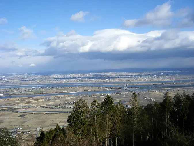
Osugidani (Odai Town, OdaiTown)
An unexplored region remaining in the upper reaches of the Miyagawa River. The valley is filled with rapids, cliffs, and hundreds of waterfalls. Although it is a dense area of primeval forest, there are also walkways and suspension bridges. However, it is not possible to complete the entire course in a day trip, and the path is steep, so it is only for advanced climbers.
Related information
Interview report: Discover how to enjoy Okuise's mountains and rivers with Verde Odai Tourism! I experienced playing in the mountains with a hermit who knows everything about nature in OdaiTown!
Interview report: This is the place to go climbing in early summer! Mie's proud unexplored region, Osugidani "Shishibuchi"
Somonyama (Odai OdaiTown District)
A low mountain located in the center of town, it can be enjoyed by everyone from beginners to advanced climbers.
The mountain is adjacent to Okuise Forest Pier, so we recommend using Okuise Forest Pier as your base and sweating it out in the hot springs on your way back.
There is also an observation deck that can be accessed by car, where you can enjoy the scenery.
There are also mountain climbing events held by OdaiTown Tourism Association.
Related information
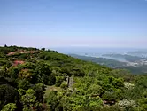
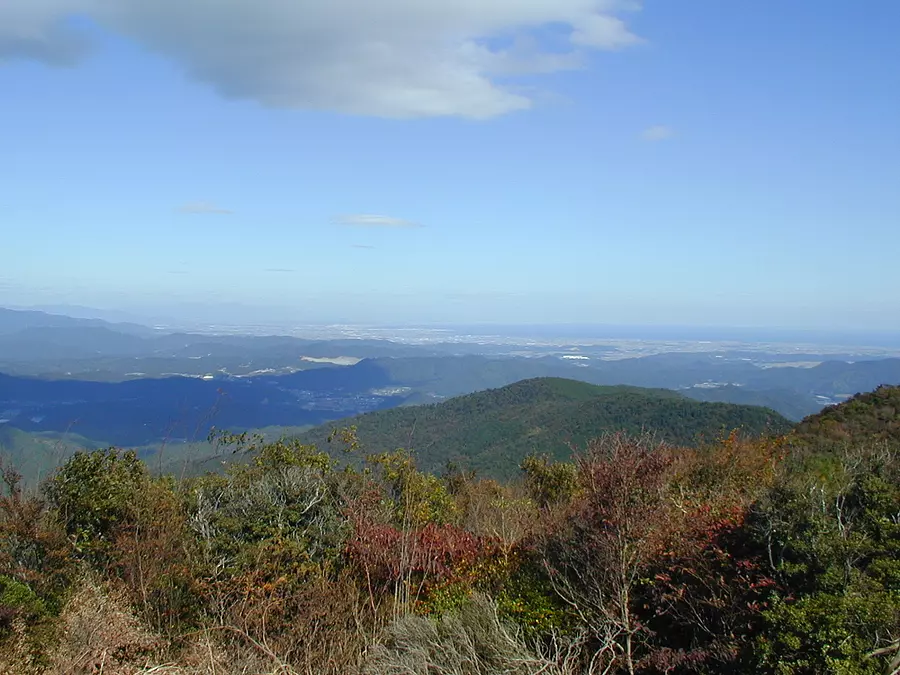
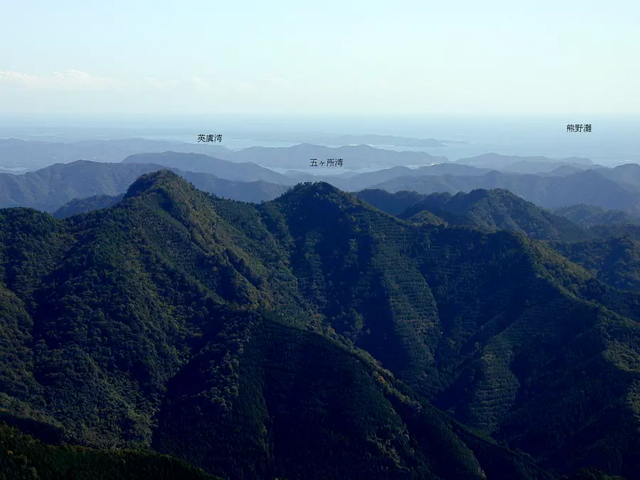
Mt.Asama (IseCity)
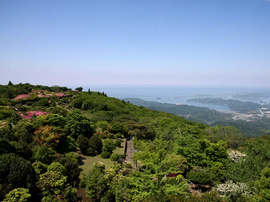
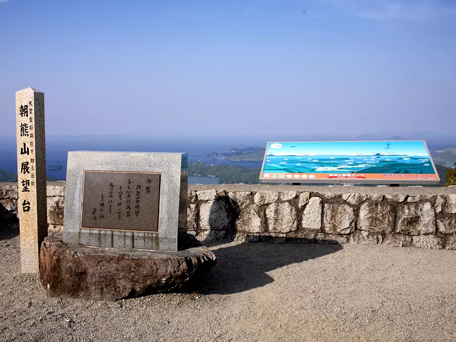
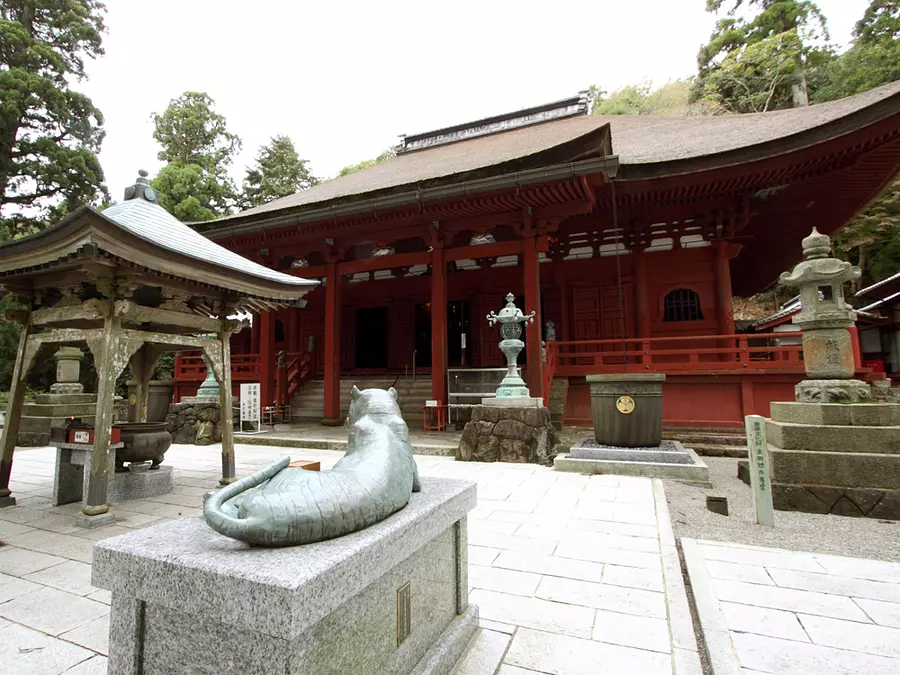
As the Ise Ondo song goes, ``If you go to Ise, go to Asakuma, but if you don't go to Asakuma, it's a one-time visit.'' After visiting the shrine, it was common for people to visit Mt.Asama.
At an altitude of 555 meters, there is an observation deck and KongoshojiTemple, which protects the demon gate of the shrine, at the top of the mountain.
Shichidodake (Taiki Town, TaikiTown)
There are huge rocks near the top of the mountain, and the view from there is beautiful. With a 360-degree view, you can see the Ise plains to Owase, etc. It's easy to get lost, so go with someone who is familiar with the mountains.
Fields to the summit of Mt. Shichidodake, Fuji to the summit of Mt. Shichidodake
Ushigusa Mountain (Watarai Town, WataraiTown)
The summit is the best spot from which to view Gokasho Bay and the Shima Peninsula. The course includes huge trees that are over 200 years old, rest areas, and plenty of other things to see.
Kunitsukayama (Watarai Town WataraiTown)

Kunitsukayama straddles WataraiTown and TamakiTown. The summit is about 1.5 hours from Kunitsukaji Temple in WataraiTown. Jizo statues are placed along the mountain path to indicate the distance, and there is the old Kunizuka ruins at the top of the mountain.
Mt. Himekoshi (Taiki Town, TaikiTown)

Located on the border with MinamiiseTown the summit offers a panoramic view of the Kumanonada Sea. The presence of Ashihama Pond doubles the appeal of mountain climbing. The mountain trails are well-maintained, and you can choose a course that suits your ability.
Binishiyama (Kihoku Town, KihokuTown)
There is a spectacular view point called ``Elephant Back'' along the road from Magose-togePass on the World Heritage Site ``Kumano Kodo Iseji'' to Binshiyama.
On a clear day, it is a photogenic spot where you can enjoy a wonderful view.
You can walk west along the ridge from Magose-togePass and make the round trip in two and a half hours.
Related information
Kasatoriyama (IgaCity)
In early summer, azaleas bloom profusely, and in winter, frost-covered trees can be seen.
| Category | |
|---|---|
| season |