
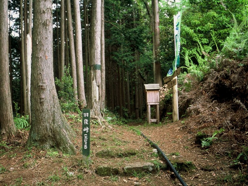
Introducing all 17 courses of Kumano Kodo/Iseji Route
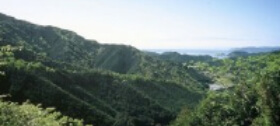
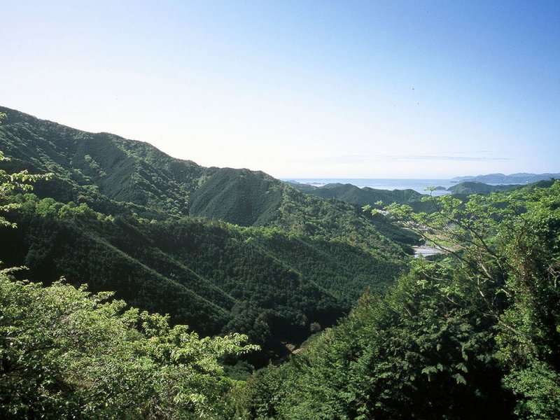
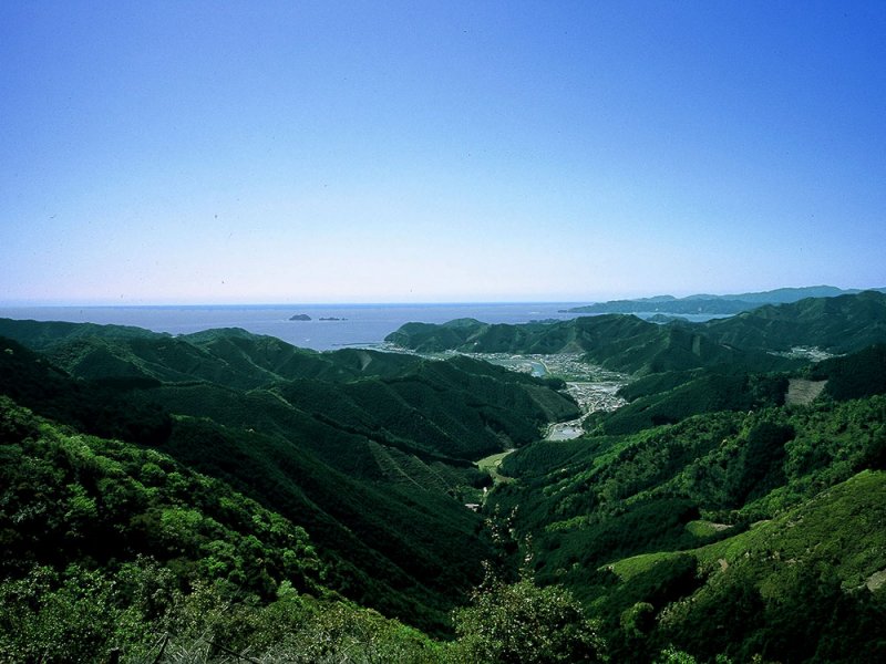
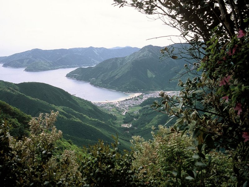
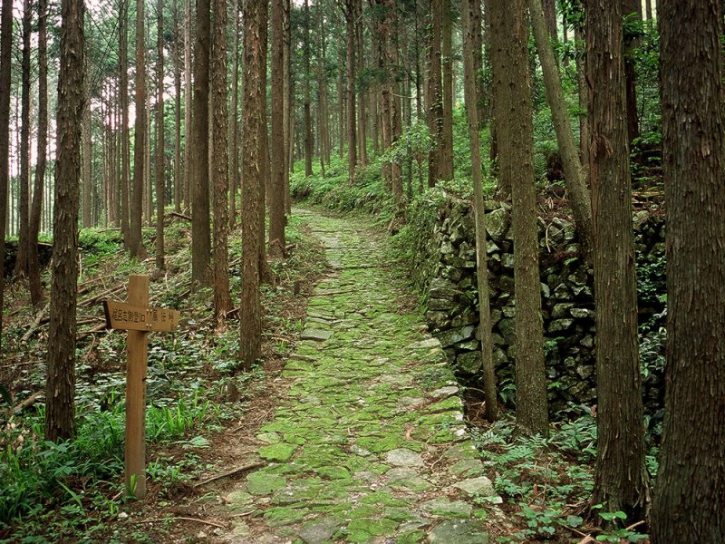
Iseji is not only full of stone pavements and bamboo forests, but also a mountain pass with a panoramic view of the Kumano Sea.
You can enjoy a variety of scenery, including a course overlooking rice terraces and a pilgrimage route along the Kumano River.
Find your favorite old road.
Search from list
1Kasaka Pass
The road is wide and has a gentle slope, making it easy to walk. The course has many broad-leaved trees, so you can enjoy seasonal plants.
| difficulty | ★ |
|---|---|
| distance | Approximately 8km |
| walking time | Approximately 2 hours 30 minutes |
| elevation | 241m |
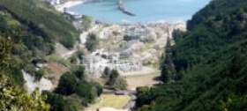
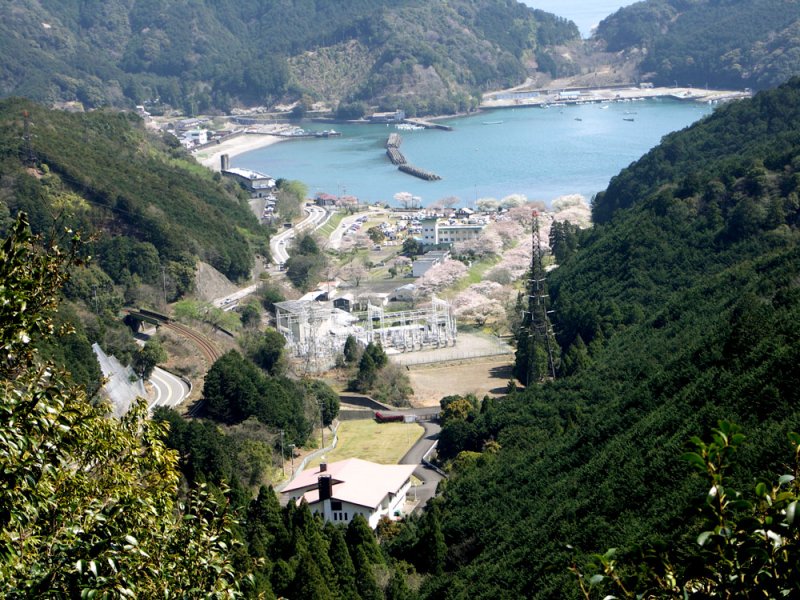
2Tsuzurato TsuZurato-togePass
"Tsuzurato" means "ninety-nine folds." As the name suggests, the mountain pass road that descends to nagashima has a series of curves.
| difficulty | ★★★ |
|---|---|
| distance | Approximately 9km |
| walking time | Approximately 3 hours 30 minutes |
| elevation | 357m |
3Ikseki Pass
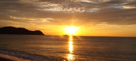
A gentle course where you can enjoy spectacular views of the islands called Matsushima in Kii and the vast Kumano Sea.
| difficulty | ★★ |
|---|---|
| distance | Approximately 8km |
| walking time | Approximately 3 hours |
| elevation | 113m |
4Shishintouge hajikami
The Edo Road, with its stone pavements that give you a sense of history, and the Meiji Road, with its thicket of trees and soothing souls, meet at hajikami Pass.
| difficulty | ★★ |
|---|---|
| distance | Approximately 3.5km |
| walking time | Approximately 2 hours |
| elevation | 147m |
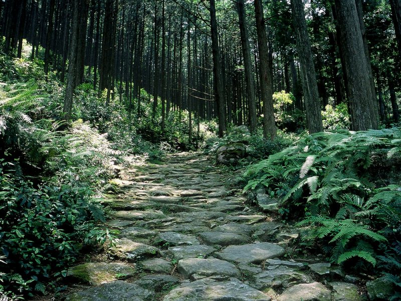
5 Magose-togePass
The stone pavement, which is said to be the best on the Iseji route of the Kumano Kodo, continues through a beautiful forest of Owase cypress trees.
| difficulty | ★★★ |
|---|---|
| distance | Approximately 5km |
| walking time | Approximately 2 hours 30 minutes |
| elevation | 325m |
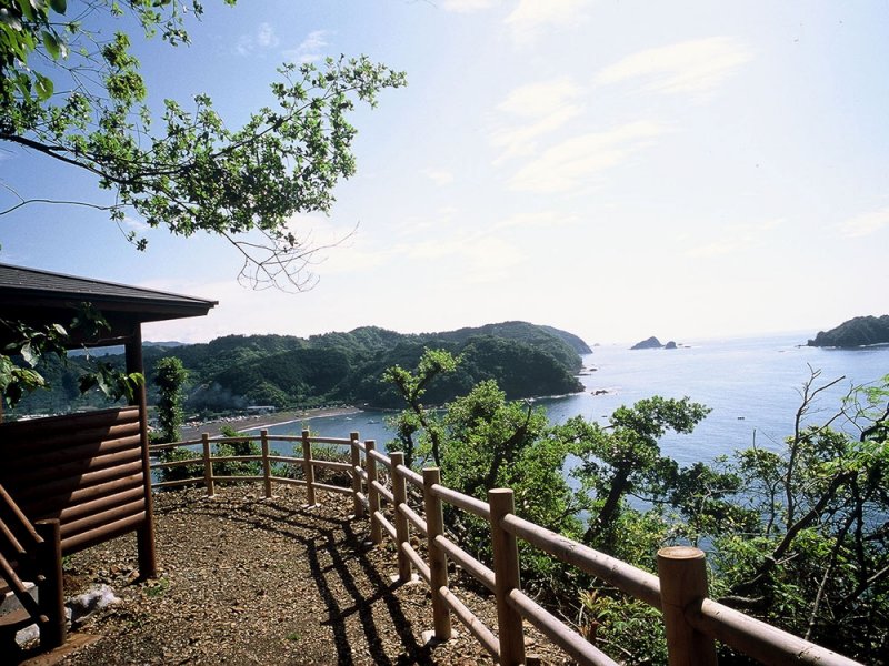
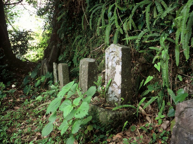
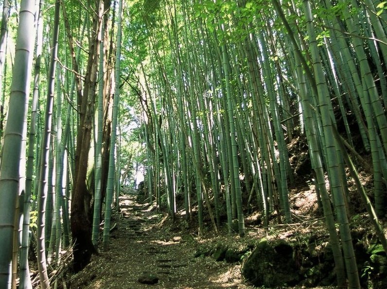
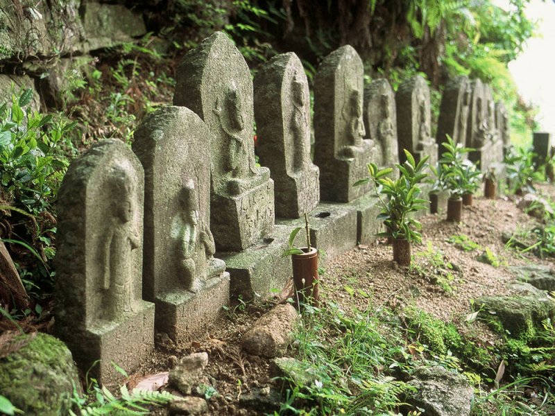
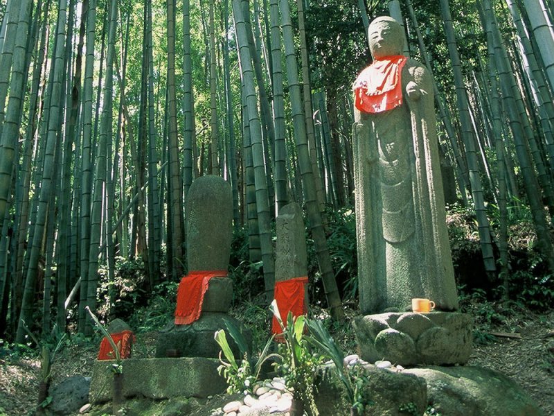
6Crossing Mt. Yakiyama
You can enjoy a panoramic view of the Kumano Sea from Sakura no Mori at the end of Miki Pass. You can also see many Jizo statues, stone Buddha statues, and pilgrimage tombstones.
| difficulty | ★★★★ |
|---|---|
| distance | Approximately 10km |
| walking time | Approximately 5 hours |
| elevation | 627m |
7Miki Pass/Ugo Pass
A hiking course where you can see moss-covered stone pavements throughout and enjoy the atmosphere of Kumano Kodo.
| difficulty | ★★ |
|---|---|
| distance | Approximately 6km |
| walking time | Approximately 3 hours |
| elevation | 140m |
8Sone Jirozaka/Tarozaka
The origin of the name ``Jiro/Taro'' is a corruption of ``own territory/other territory'' as it used to be the border between Shima and Kii.
| difficulty | ★★ |
|---|---|
| distance | Approximately 5km |
| walking time | Approximately 2 hours 30 minutes |
| elevation | 305m |
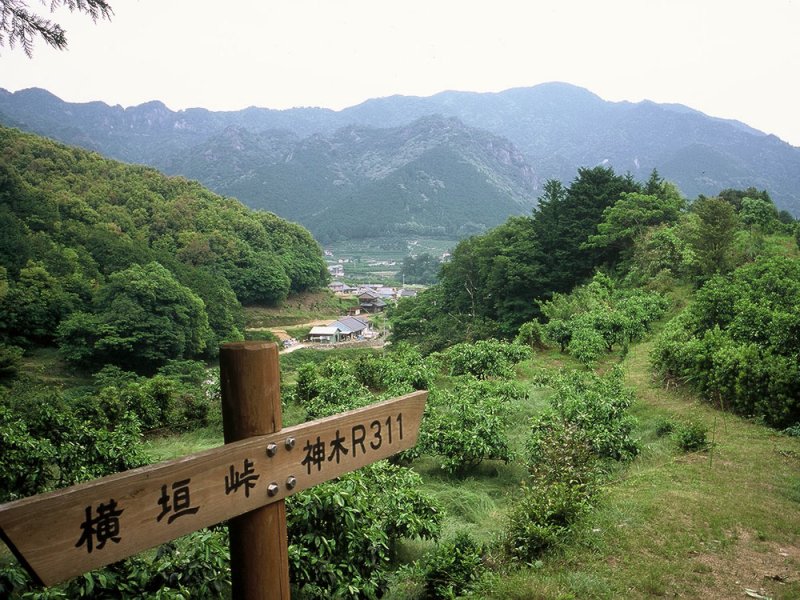
9 Nikishima Pass/Aikamizaka Pass
The mountain forest is made up of cedar and cypress, and almost all the way there is a neat cobblestone road, which is popular with hikers for its moderate ups and downs.
| difficulty | ★★ |
|---|---|
| distance | Approximately 4.5km |
| walking time | Approximately 2 hours 30 minutes |
| elevation | 290m |
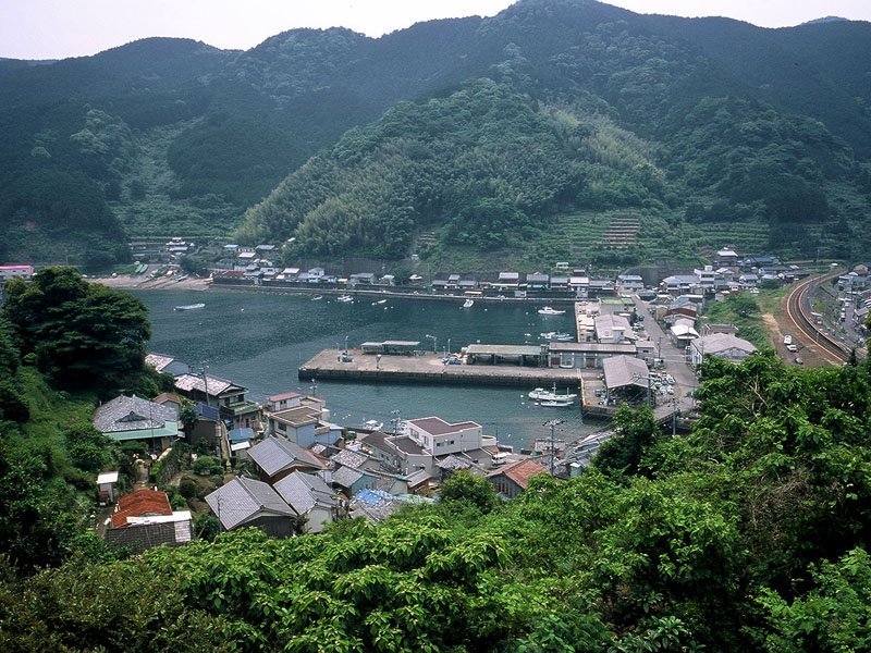
10Hatasu Road/Obuki Pass
Hatasu is a village of legends and myths, where rice terraces and private houses are scattered between the sea and the mountains. Obuki Pass is an ancient road surrounded by a bamboo forest.
| difficulty | ★★ |
|---|---|
| distance | Approximately 8.5km |
| walking time | Approximately 5 hours 30 minutes |
| elevation | 205m |
11 Kannon Road
Kannon stone statues from 33 places in Saigoku are lined up. This is a relatively easy course among the old roads, with no steep climbs.
| difficulty | ★★ |
|---|---|
| distance | Approximately 3.8km |
| walking time | Approximately 2 hours 30 minutes |
| elevation | 265m |
12 Matsumoto Pass/ Hana-no-Iwaya
A Jizo statue that is said to have been shot with a gun stands on a pass surrounded by a bamboo grove, and a plum grove along the way provides a panoramic view of Shichirimihama Beach.
| difficulty | ★★ |
|---|---|
| distance | Approximately 5km |
| walking time | Approximately 3 hours |
| elevation | 135m |
13 Yokogaki Pass
A portion of Hongu-michi is a cobblestone pavement paved with the unique kounogi rhyolite.
*As of January 2014, the area between Mizutsubo Jizo and Azumaya Rest Area is closed to traffic.
| difficulty | ★ |
|---|---|
| distance | Approximately 5.4km |
| walking time | Approximately 2 hours |
| elevation | 305m |
14 Fuden Pass
The moss-covered cobblestone road is a path used by people who delivered seafood to mountain villages and mountain villages to coastal villages.
| difficulty | ★ |
|---|---|
| distance | Approximately 3.5km |
| walking time | Approximately 1 hour 30 minutes |
| elevation | 257m |
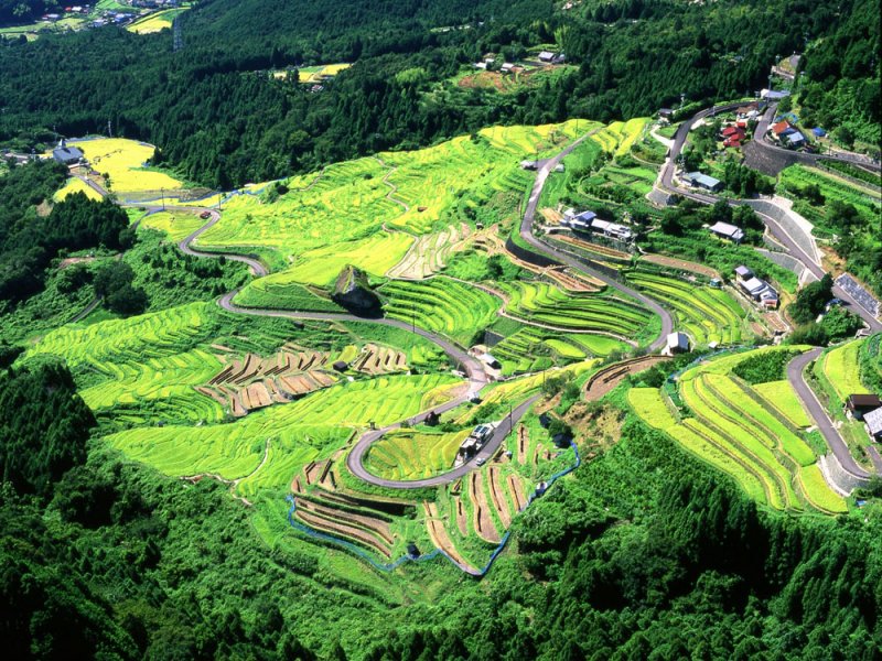
15th Street Pass and MaruyamaSenmaida
This popular course has many attractions, including an observation deck overlooking Senmaida and large rocks that suddenly appear on the rice field road.
| difficulty | ★★ |
|---|---|
| distance | Approximately 4.8km |
| walking time | Approximately 2 hours 30 minutes |
| elevation | 390m |
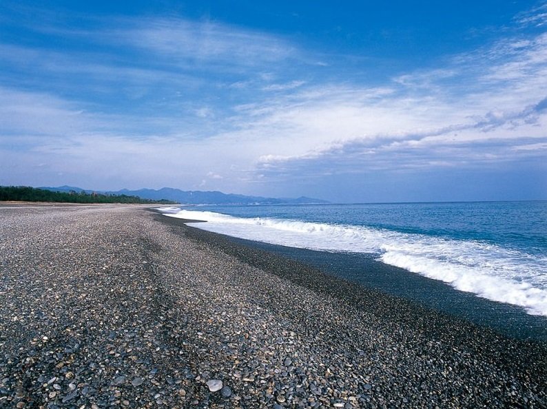
16 Hamakaido
This course runs from KumanoCity along Shichirimihama Beach to Shingu, where Kumano Hayatama Taisha, one of the three Kumano shrines, is enshrined.
| difficulty | ★★★★ |
|---|---|
| distance | Approximately 26.6km |
| walking time | Approximately 9 hours |
| elevation | flatland |
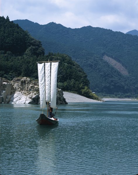
17 Kumanogawa
You can experience the Kumano River on Santanho and get a real sense of the Kumano River while looking at the strange natural formations.
| difficulty | ★ |
|---|