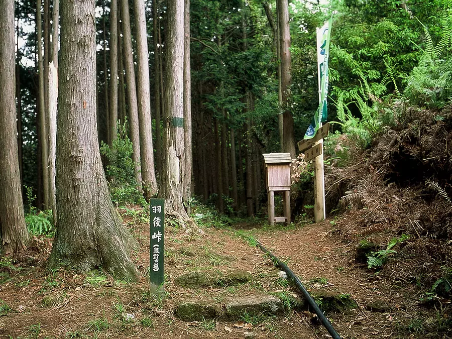
Miki Pass/Ugo Pass (Kumano Kodo Iseji Route) Mikitouge/Hagotoge
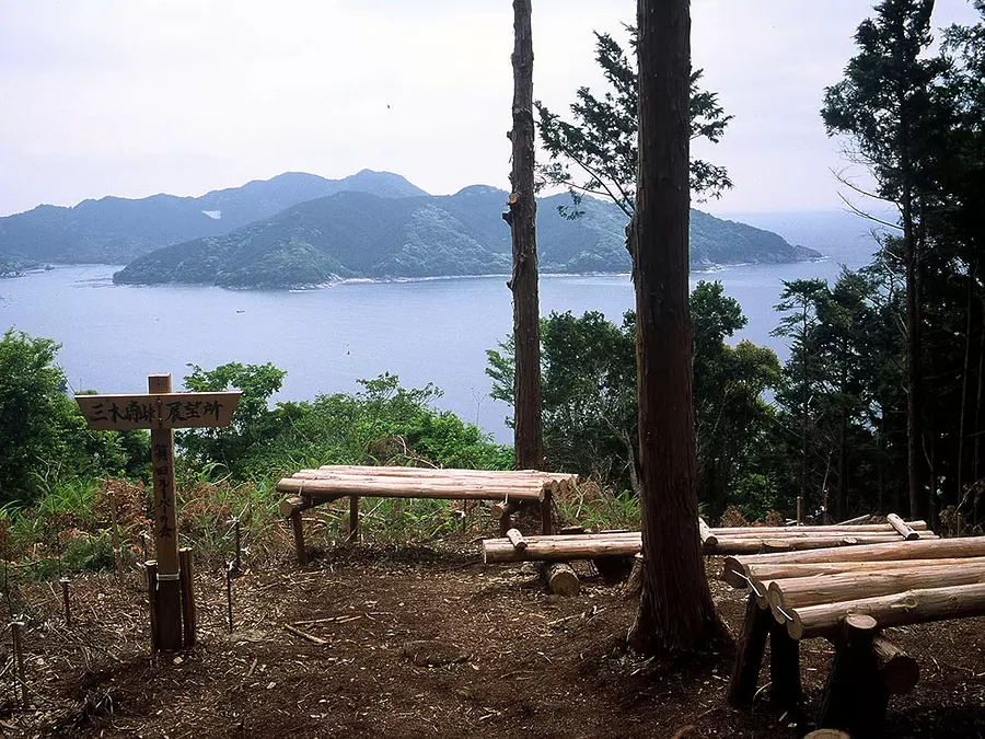
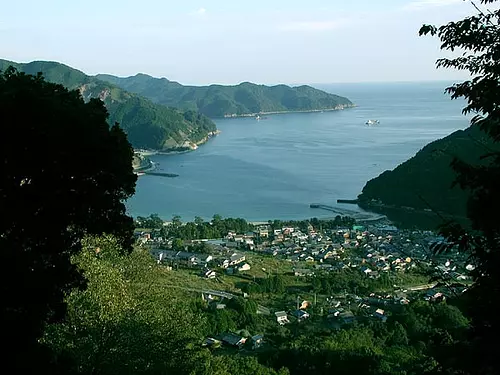
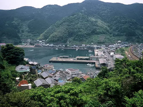
This route connects Mikisato-cho, a village on a cove, with Kata-cho and Sone-cho, and passes over two small mountain passes while overlooking National Route 311, which runs along the coastline.
This path was recently excavated by local people, and the natural path is broken in several places, which are connected by paved roads.
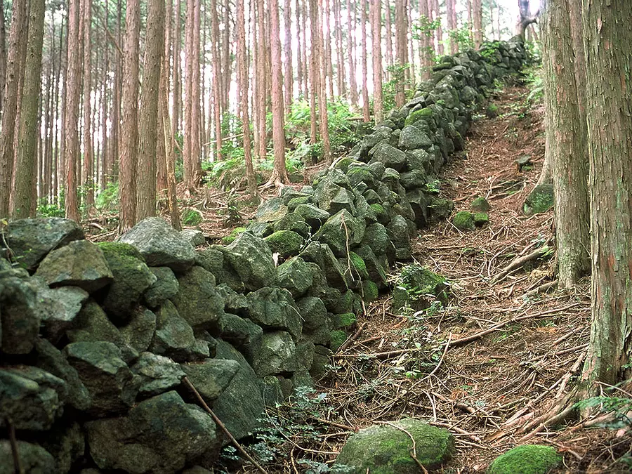
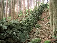
The wild boar fence that stretches out from the mountain pass is said to be the longest in the region, and is a testimony to the existence of the people who lived there.
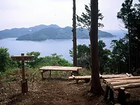
Moss-covered stone pavements can be seen throughout the pass, making it a popular hiking course where you can fully enjoy the atmosphere of Kumano Kodo.
○Course points: Miki Pass - Ugo Pass signpost - Akibayama - Kata - Gorin Tower, etc.
○Walking time: Approximately 3 hours
○Distance: Approximately 6km (JR Mikisato Station - JR Kata Station)
○ Resting spot: Miki Pass observation deck, etc.
URL: Miki Pass/Ugo Pass (HigashiKishu Tourism Handbook)
URL: Mie Prefectural Kumano Kodo Center [Miki Pass/Ugo Pass]
URL: World Heritage Kumano Kodo Iseji Route (Mie Prefectural Office HP)
You can view and edit the sightseeing route (My Plan on My Page) that will take you around the selected spots.
現在選択中のスポット数:...件
Detailed information
[To JR Mikisato Station, the starting point]
・About 3 hours and 40 minutes by train from JR/Kintetsu Tsu Station
・About 10 minutes by train from JR Kisei Main Line "Kata Station"
・Approximately 1 hour and 15 minutes south by car from Kisei Expressway "Kise ouchiyama IC"
Please use the parking lot at Mikisato Beach.
*Prices are subject to change, so please check with your contact information before going out.
Nearby spots
直線距離:466m
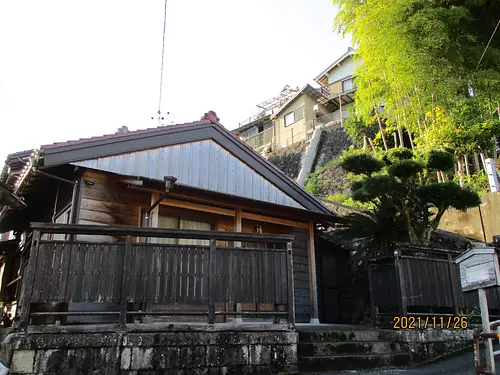
Mikisato Wild Bird Path
直線距離:604m
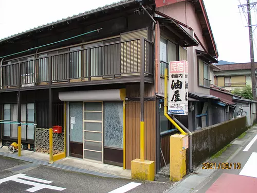
Aburaya Minshuku

直線距離:626m
Minshuku Kishino
直線距離:726m
Miyoshiya
直線距離:756m
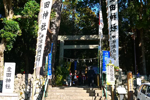
Mikisato Shrine
直線距離:798m
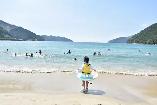
MikisatoBeach
直線距離:1.1km
Misaki and Igumi
直線距離:2.5km
Kata Bay
直線距離:2.6km
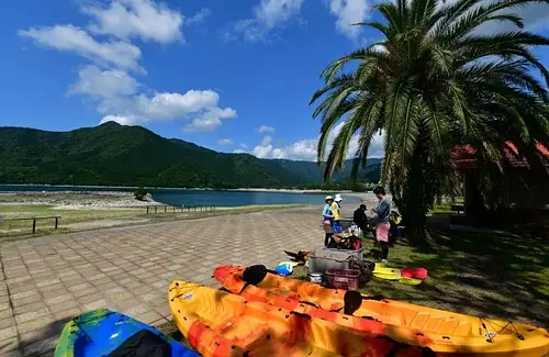
aqua station
直線距離:2.8km
Minshuku Ushio
直線距離:3.4km
Yano River Shadow Valley Trees [Prefecturally Designated Natural Monument]
直線距離:3.5km
Sone Jirozaka/Tarozaka (Kumano Kodo Iseji Route)
nearby events
Date: Saturday, May 4, 2024
直線距離:7.3km
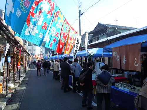
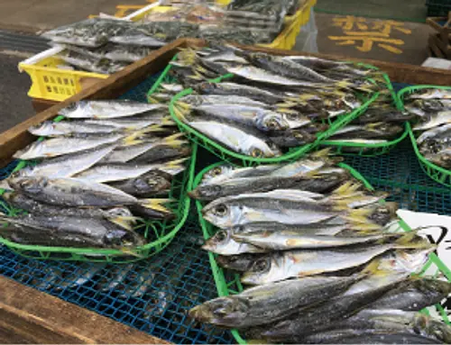
fault? Fish Kumanonada Houbai Festival
Dates: Held on the first Saturday of every month, and also on the third Saturday in December. *However, January...
直線距離:8.2km
Owase Itadaki City
Date: August 15th every year (2024 date to be determined)
直線距離:8.9km
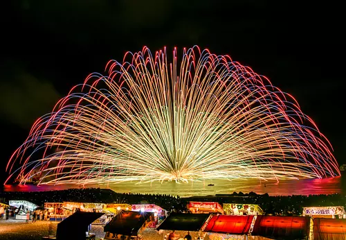
Yuki Memorial Fireworks Festival
Date: July 7, 2024 (Sunday) - August 31, 2024 (Saturday)
直線距離:9.5km
Atashika Beach Sea Opening
Date: July 7, 2024 (Sunday) - August 31, 2024 (Saturday)
直線距離:13.7km
OdomariBeach Sea Opening
Date: Scheduled for January 2025
直線距離:15.1km
10th Kumano Kinomoto “Sanma Festival”
Date: Saturday, August 17, 2024
直線距離:15.5km
Kumano Fireworks Festival
Date: April 28th (Sun) - May 6th (Mon, Holiday) 2024 *Depending on the weather...
直線距離:15.5km
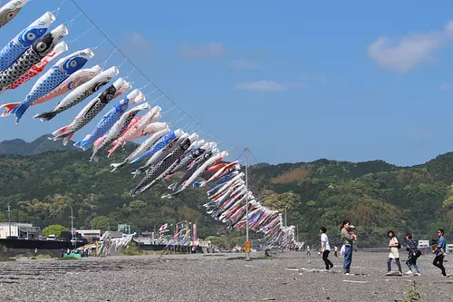
Swim! Carp streamer
Date: Sunday, May 26, 2024
直線距離:15.6km
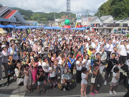
All Kumano Festa
Date: Friday, January 10, 2025
直線距離:17.5km
Uta Shrine Festival
Date: Saturday, May 11, 2024 - Saturday, May 11, 2024...
直線距離:25.3km
Kiinagashima Port City
Date: Around September 2024
直線距離:26.5km
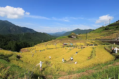
MaruyamaSenmaida Rice Harvesting Gathering
Plays and experiences nearby
直線距離:6.8km
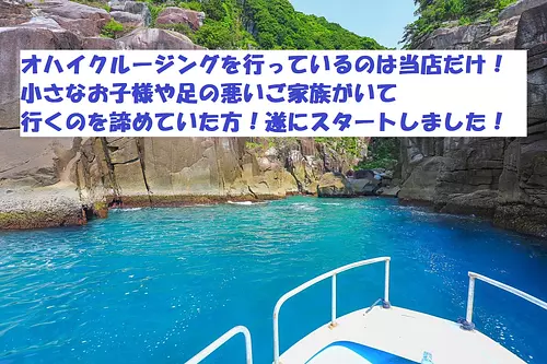
Ojai cruising has started!
直線距離:11.6km
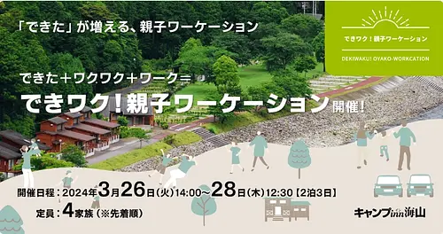
Dekiwaku! Parent-child workday
直線距離:11.6km
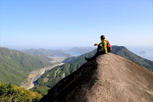
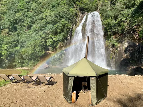
Extreme Kumano Kodo Iseji Walking and Camping!
直線距離:19.8km
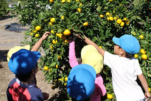
Kanayama Pilot Farm Orange picking
直線距離:30.9km
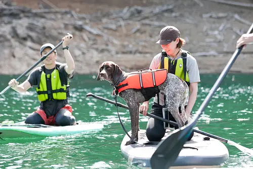
RocaRocaActivities
![[Kii Tourism] Let's draw a trip to Kumano vol.3 Cool breeze clear stream, Doro-kyoGorge](https://www.kankomie.or.jp/rails/active_storage/representations/proxy/eyJfcmFpbHMiOnsibWVzc2FnZSI6IkJBaHBBNkIvQXc9PSIsImV4cCI6bnVsbCwicHVyIjoiYmxvYl9pZCJ9fQ==--3d8ea17c4a3d3337da9bc9632e6d33c654b4fe51/eyJfcmFpbHMiOnsibWVzc2FnZSI6IkJBaDdCem9MWm05eWJXRjBPZ2wzWldKd09oSnlaWE5wZW1WZmRHOWZabWwwV3dkcEF2UUJNQT09IiwiZXhwIjpudWxsLCJwdXIiOiJ2YXJpYXRpb24ifX0=--8d6bc4b517fae43c9e30c66a38f93836dd92b535/1.jpg)
直線距離:30.8km
[Kii Tourism] Let's draw a trip to Kumano vol.3 Cool breeze clear stream, Doro-kyoGorge
直線距離:35.2km
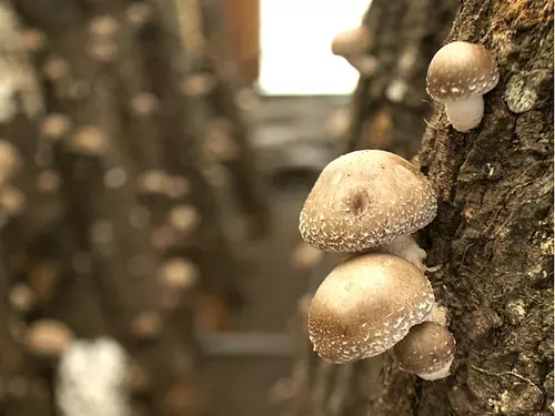
Shiitake mushroom picking in Mushroom Land
直線距離:36.0km
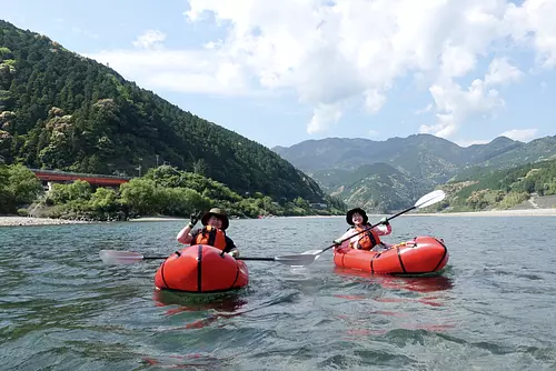
Packraft experience "Kumano Kodo on the river" River rafting on the Kumano River
直線距離:36.0km
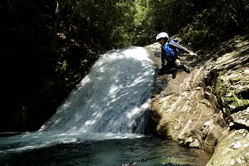
Waterfall basin dobon and waterfall sliding “River play at KihoTown waterfall”
直線距離:36.9km
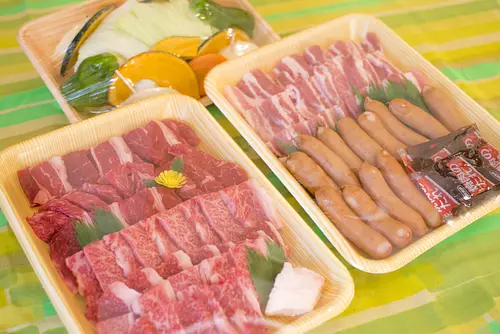
BBQ☆ “Empty-handed BBQ” at Hisetsu-no-takiFalls campsite
直線距離:36.9km
The waterfall is a water bath! ? "Finnish sauna" experience
直線距離:36.9km
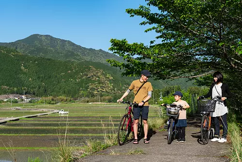
``Nihonhon no Sato 100 Selection'' Cycling through Asari village♪