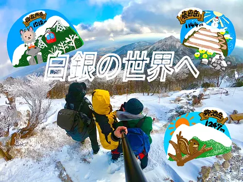
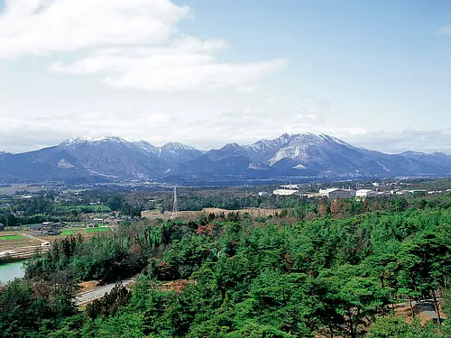
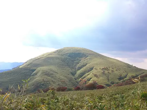
Oikedake
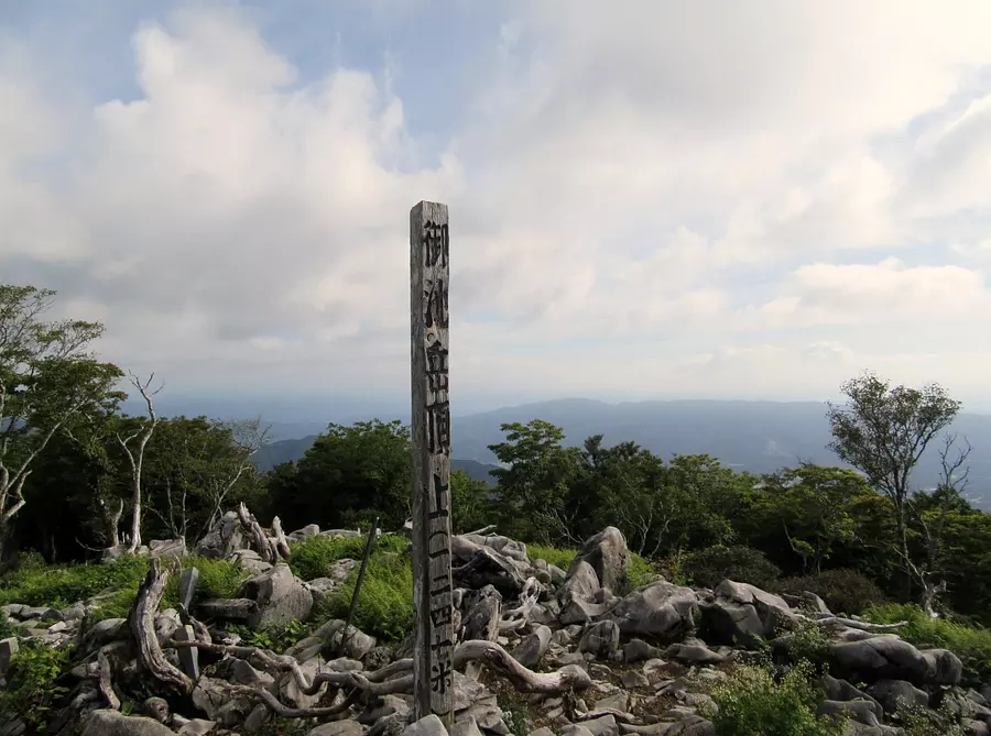
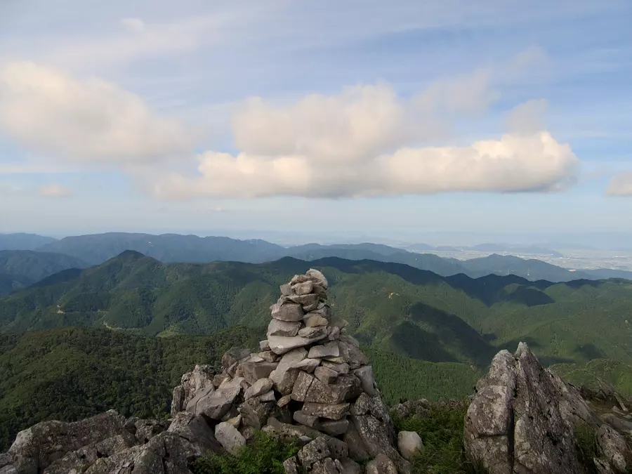
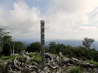

The highest peak in Suzuka Quasi-National Park, 1243m.
A peak on the mountain ridge that continues to the north face of Mt. Fujiwara. 2 hours and 30 minutes from Mt. Fujiwara.
There are many ponds (dolines) near the top of the mountain.
For transportation information regarding mountain climbing from the Shiga Prefecture side, please contact Shiga Prefecture.
Click here for information on mountain trail closures.
https://www.city.inabe.mie.jp/sangyo/kanko/1002017.html
*Please check the latest information as there is a risk of collapse on the mountain trail.
If you need a mountain climbing map, please come to the `` InabeCity Agriculture, Forestry, Commerce and Industry Department, Commerce, Industry and Tourism Division''.
If you have time before climbing and live far away, you can also have a climbing map mailed to you, so please contact InabeCity, Agriculture, Forestry, and Commerce Department, Commerce, Industry and Tourism Division.
[InabeCity Agriculture, Forestry, Commerce and Industry Department, Commerce and Tourism Division]
〒511-0498
31 Ageki, ageki-cho, Inabe InabeCity, Mie Prefecture
Phone: 0594-86-7833
You can view and edit the sightseeing route (My Plan on My Page) that will take you around the selected spots.
現在選択中のスポット数:...件
Detailed information
19.7km (about 35 minutes) from Tokai Kanjo Expressway “Daian IC”
30.7km (approx. 50 minutes) from Higashi-Meihan Expressway “Kuwana IC”
22.0km (about 35 minutes) from Meishin Expressway “Hikone IC”
*Prices are subject to change, so please check with your contact information before going out.
Nearby spots
直線距離:4.1km
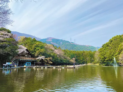
Gaku Fujiwara
直線距離:4.7km
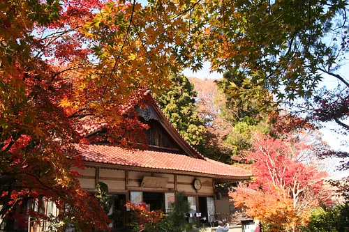
Narutaniyama Shohoji Temple
直線距離:5.0km
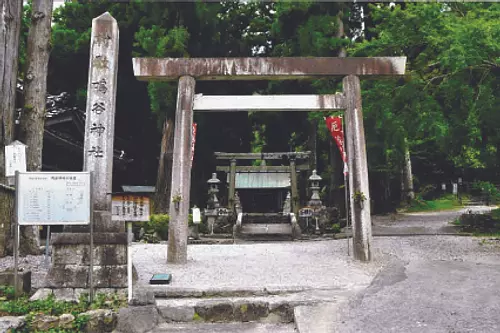
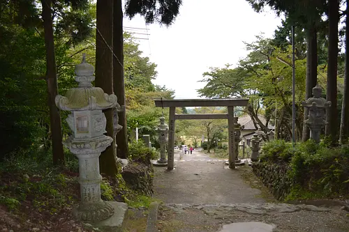
Narutani Shrine
直線距離:5.3km
fishing sanctuary
直線距離:5.8km
Nishi-Fujiwara Station Park
直線距離:6.5km
Fujiwaradake Natural Science Museum
直線距離:7.3km
Ryugatake
直線距離:8.2km
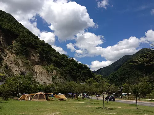
AogawakyoCampingPark
直線距離:8.7km
InabeCity Agricultural Park Eco Welfare Square
直線距離:8.7km
InabeCity Agricultural Park Bairin Park
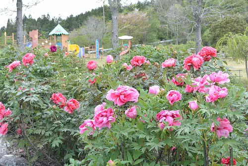
![[Closed in 2023] KIMOTO Dahlia Garden](https://www.kankomie.or.jp/rails/active_storage/representations/proxy/eyJfcmFpbHMiOnsibWVzc2FnZSI6IkJBaHBBN3lhQXc9PSIsImV4cCI6bnVsbCwicHVyIjoiYmxvYl9pZCJ9fQ==--f5a81f13792fe58107e1dc8760e321c6bb7a930b/eyJfcmFpbHMiOnsibWVzc2FnZSI6IkJBaDdCem9MWm05eWJXRjBPZ2wzWldKd09oSnlaWE5wZW1WZmRHOWZabWwwV3dkcEF2UUJNQT09IiwiZXhwIjpudWxsLCJwdXIiOiJ2YXJpYXRpb24ifX0=--8d6bc4b517fae43c9e30c66a38f93836dd92b535/%E3%81%8D%E3%82%82%E3%81%A8%E3%83%80%E3%83%AA%E3%83%A4%E5%9C%923.jpg)
直線距離:8.8km
[Closed in 2023] KIMOTO Dahlia Garden
直線距離:9.1km
Agricultural Restaurant Fural
nearby events

Date: May 21, 2024 (Tuesday)
直線距離:8.6km
2024 Tour of Japan Inabe Stage

Date: Late June
直線距離:8.6km
Plum picking experience
Date: Mid-November
直線距離:9.5km
13th Inabe no Sato New Soba Festival

Date: Saturday, May 18, 2024
直線距離:10.4km
The 12th Art and Culture Association Chairman's Cup Go and Shogi Tournament
Date: June
直線距離:10.4km
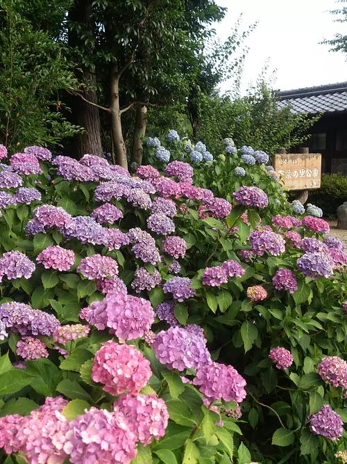
Hydrangeas at Manyo no Sato Park

Date: May 19, 2024 (Sun) - May 19, 2024 (Sun)
直線距離:11.9km
9th Fukuo Shrine Tenguzaka uphill
Event date: Sunday, June 23, 2024 - June 23, 2024 (...
直線距離:11.9km
Fukuo Shrine Summer Purification Passing through the grass ring
.jpg)
Event date: Saturday, July 20, 2024 - July 21, 2024 (...
直線距離:17.1km
Gohyakurakan sketch competition
.jpg)
Event date: Saturday, July 20, 2024 - July 21, 2024 (...
直線距離:17.1km
Takenari History Research Classroom
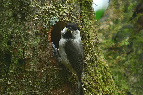
![[5th] Flower and Wild Bird Walk](https://www.kankomie.or.jp/rails/active_storage/representations/proxy/eyJfcmFpbHMiOnsibWVzc2FnZSI6IkJBaHBBMVZrQkE9PSIsImV4cCI6bnVsbCwicHVyIjoiYmxvYl9pZCJ9fQ==--222a2dfa6b1419147ab4290984a5fd329ae8fccb/eyJfcmFpbHMiOnsibWVzc2FnZSI6IkJBaDdCem9MWm05eWJXRjBPZ2wzWldKd09oSnlaWE5wZW1WZmRHOWZabWwwV3dkcEF2UUJNQT09IiwiZXhwIjpudWxsLCJwdXIiOiJ2YXJpYXRpb24ifX0=--8d6bc4b517fae43c9e30c66a38f93836dd92b535/%E3%83%9B%E3%82%AA%E3%82%B8%E3%83%AD.jpg)
Date: Saturday, June 8th
直線距離:18.2km
[5th] Flower and Wild Bird Walk
![[6th] Flower and Wild Bird Walk](https://www.kankomie.or.jp/rails/active_storage/representations/proxy/eyJfcmFpbHMiOnsibWVzc2FnZSI6IkJBaHBBMU5rQkE9PSIsImV4cCI6bnVsbCwicHVyIjoiYmxvYl9pZCJ9fQ==--fff2dc4b96a40ca37576a6c705371952d61c27d9/eyJfcmFpbHMiOnsibWVzc2FnZSI6IkJBaDdCem9MWm05eWJXRjBPZ2wzWldKd09oSnlaWE5wZW1WZmRHOWZabWwwV3dkcEF2UUJNQT09IiwiZXhwIjpudWxsLCJwdXIiOiJ2YXJpYXRpb24ifX0=--8d6bc4b517fae43c9e30c66a38f93836dd92b535/%E3%82%AA%E3%82%AA%E3%83%AB%E3%83%AA.JPG)
Date: Sunday, June 16th
直線距離:18.2km
[6th] Flower and Wild Bird Walk
Date: Sunday, May 19th
直線距離:18.2km
】【4th】Flower and Wild Bird Walk
Plays and experiences nearby

直線距離:8.6km
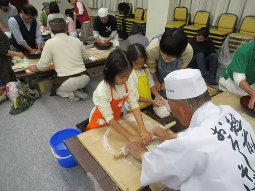
Plum picking experience
直線距離:10.0km
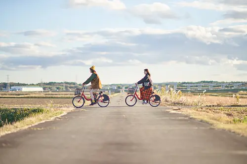
Rental bicycle “Ina CHARI”
直線距離:17.6km
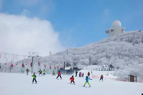
Gozaisho Ski Resort
直線距離:17.7km
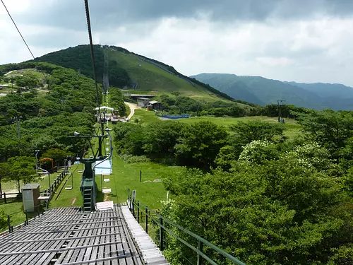
Gozaisho Mountain Sightseeing Lift
直線距離:18.2km
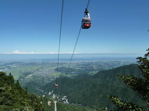
GozaishoRopeway
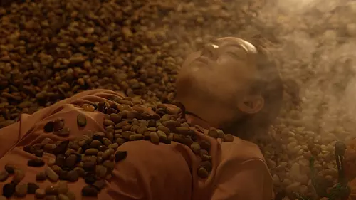
直線距離:19.3km
Experience the mineral mist bath “LeFuro” at Aquaignis Kataoka Onsen!

直線距離:19.4km
Mariage de Farine Online Shop
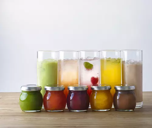
直線距離:19.4km
Confiture Ash Online Shop

直線距離:19.4km
Il Cecciano Miele Online Shop
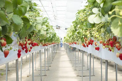
直線距離:19.5km
Aquaignis “TSUJIGUCHI FARM” now accepting reservations for strawberry picking!
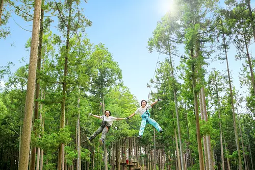
直線距離:19.5km
Forest Adventure Yunoyama “Zip Trip Course”
直線距離:19.5km
Forest Adventure Yunoyama “Adventure Course”